Area Overview for SP5 1SW
Photos of SP5 1SW
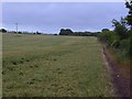
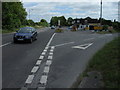
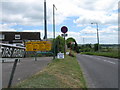
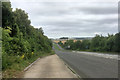
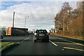
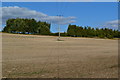
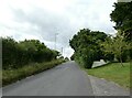
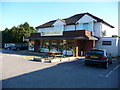
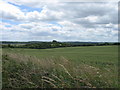
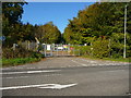
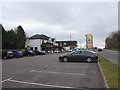
11 photos from this area
Area Information
Key information about the SP5 1SW including its size, population, and administrative classification.
- Area Type
- Postcode
- Area Size
- 11.1 hectares
- Population
- 1943
- Population Density
- 62 people/km²
House Prices in SP5 1SW
33
Properties
£396,438
Average Sold Price
£10,000
Lowest Price
£680,000
Highest Price
Showing 33 properties
| Address | Type | Beds | Baths | Last Sale Price | Last Sale Date | |
|---|---|---|---|---|---|---|
| 58 Firs Road, Firsdown, SP5 1SW | Detached | 5 | 2 | £675,000 | Apr 2024 | |
| Solstice, 75 Firs Road, Firsdown, SP5 1SW | house | - | - | £585,000 | Dec 2023 | |
| 85 Firs Road, Firsdown, SP5 1SW | house | 4 | 2 | £585,000 | Jun 2023 | |
| 78 Firs Road, Firsdown, SP5 1SW | Retail | 3 | 1 | £680,000 | May 2022 | |
| 76 Firs Road, Firsdown, SP5 1SW | house | - | - | £584,000 | Apr 2021 | |
| 77 Firs Road, Firsdown, SP5 1SW | Bungalow | 4 | 1 | £470,000 | Jul 2019 | |
| 70 Firs Road, Firsdown, SP5 1SW | Bungalow | 3 | - | £10,000 | Apr 2018 | |
| 74 Firs Road, Firsdown, SP5 1SW | Detached | 4 | - | £522,500 | Dec 2016 | |
| 82 Firs Road, Firsdown, SP5 1SW | Bungalow | 4 | 3 | £535,000 | Oct 2016 | |
| 79 Firs Road, Firsdown, SP5 1SW | Detached | 6 | 2 | £465,000 | May 2016 |
Page 1 of 4
Energy Efficiency in SP5 1SW
Amenities
Schools
| Rank | School | Type | Entry gender | Ages |
|---|
Explore more schools in this area
Go to Schools tabDemographics
Household Size
Two person
most common
Accommodation Type
Houses
most common
Tenure
90
majority
Ethnic Group
White
most common
Religion
N/A
most common
Household Composition
N/A
most common
Age
47
median
Adults (30-64 years)
most common
Household Deprivation
N/A
with no deprivation
NS-SEC
47
in Lower managerial occupations
Explore more demographic insights in this area
Go to Demographics tabPlanning
Planning Constraints
- Flood RiskPremium
- Ramsar Wetland SitesPremium
- Area of Outstanding Natural BeautyPremium
- Protected Nature ReservePremium
- Protected WoodlandPremium