Area Overview for SO51 6FU
Photos of SO51 6FU


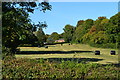
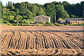
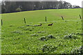
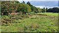
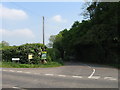
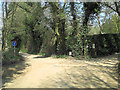
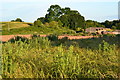
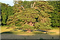
12 photos from this area
Area Information
Key information about the SO51 6FU including its size, population, and administrative classification.
- Area Type
- Postcode
- Area Size
- 39.3 hectares
- Population
- 1549
- Population Density
- 64 people/km²
House Prices in SO51 6FU
11
Properties
£756,667
Average Sold Price
£490,000
Lowest Price
£915,000
Highest Price
Showing 11 properties
| Address | Type | Beds | Baths | Last Sale Price | Last Sale Date | |
|---|---|---|---|---|---|---|
| Ash Hill Cottage, Ash Hill Common, Sherfield English, SO51 6FU | Detached | 2 | - | £915,000 | Dec 2020 | |
| Pear Tree Cottage, Ash Hill Common, Sherfield English, SO51 6FU | Detached | 5 | 3 | £865,000 | Sep 2018 | |
| Warren Copse, Ash Hill Common, Sherfield English, SO51 6FU | house | 5 | - | £490,000 | Jan 2013 | |
| Ash Hill House, Ash Hill Common, Sherfield English, SO51 6FU | Detached | 6 | 2 | - | - | |
| Park Close, Ash Hill Common, Sherfield English, SO51 6FU | Detached | - | - | - | - | |
| Biffins Cottage, Ash Hill Common, Sherfield English, SO51 6FU | Detached | - | - | - | - | |
| Tax And Strategy Ltd, Units 1 And 2, Ash Hill Common, Sherfield English, SO51 6FU | Office | - | - | - | - | |
| Unit 3, Ash Hill Common, Sherfield English, SO51 6FU | Industrial | - | - | - | - | |
| Truffles, Ash Hill Common, Sherfield English, SO51 6FU | Detached | - | - | - | - | |
| Bartley House, Ash Hill Common, Sherfield English, SO51 6FU | Detached | - | - | - | - |
Page 1 of 2
Energy Efficiency in SO51 6FU
Amenities
Schools
| Rank | School | Type | Entry gender | Ages |
|---|
Explore more schools in this area
Go to Schools tabDemographics
Household Size
Two person
most common
Accommodation Type
Houses
most common
Tenure
82
majority
Ethnic Group
White
most common
Religion
N/A
most common
Household Composition
N/A
most common
Age
47
median
Adults (30-64 years)
most common
Household Deprivation
N/A
with no deprivation
NS-SEC
44
in Lower managerial occupations
Explore more demographic insights in this area
Go to Demographics tabPlanning
Planning Constraints
- Flood RiskPremium
- Ramsar Wetland SitesPremium
- Area of Outstanding Natural BeautyPremium
- Protected Nature ReservePremium
- Protected WoodlandPremium