Area Overview for SO51 6FT
Photos of SO51 6FT
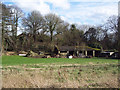
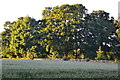
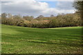
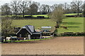
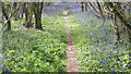
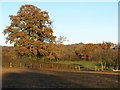
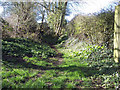
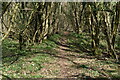
8 photos from this area
Area Information
Key information about the SO51 6FT including its size, population, and administrative classification.
- Area Type
- Postcode
- Area Size
- 1.9 km²
- Population
- 1549
- Population Density
- 64 people/km²
House Prices in SO51 6FT
20
Properties
£862,575
Average Sold Price
£288,750
Lowest Price
£1,697,000
Highest Price
Showing 20 properties
| Address | Type | Beds | Baths | Last Sale Price | Last Sale Date | |
|---|---|---|---|---|---|---|
| Broxmore House, Bunny Lane, Sherfield English, SO51 6FT | Detached | 5 | 3 | £1,697,000 | May 2023 | |
| Orchards, Bunny Lane, Sherfield English, SO51 6FT | Detached | 5 | 2 | £1,000,000 | Mar 2023 | |
| Park View, Bunny Lane, Sherfield English, SO51 6FT | Detached | 4 | 2 | £590,000 | Jun 2018 | |
| Broxmore Bungalow, Bunny Lane, Sherfield English, SO51 6FT | Bungalow | 4 | - | £700,000 | Feb 2014 | |
| Parklands, Bunny Lane, Sherfield English, SO51 6FT | Bungalow | - | - | £715,000 | Jul 2012 | |
| Broxmore Gardens, Bunny Lane, Sherfield English, SO51 6FT | house | 6 | - | £1,500,000 | Oct 2010 | |
| Malenda, Bunny Lane, Sherfield English, SO51 6FT | Detached | 5 | 3 | £560,000 | Jun 2010 | |
| Badgers, Bunny Lane, Sherfield English, SO51 6FT | Detached | - | - | £1,080,000 | Nov 2007 | |
| Albany Fields, Bunny Lane, Sherfield English, SO51 6FT | Detached | - | - | £495,000 | Jul 2006 | |
| Juniper Lodge, Bunny Lane, Sherfield English, SO51 6FT | house | 4 | - | £288,750 | Dec 1997 |
Page 1 of 2
Energy Efficiency in SO51 6FT
Amenities
Schools
| Rank | School | Type | Entry gender | Ages |
|---|
Explore more schools in this area
Go to Schools tabDemographics
Household Size
Two person
most common
Accommodation Type
Houses
most common
Tenure
82
majority
Ethnic Group
White
most common
Religion
N/A
most common
Household Composition
N/A
most common
Age
47
median
Adults (30-64 years)
most common
Household Deprivation
N/A
with no deprivation
NS-SEC
44
in Lower managerial occupations
Explore more demographic insights in this area
Go to Demographics tabPlanning
Planning Constraints
- Flood RiskPremium
- Ramsar Wetland SitesPremium
- Area of Outstanding Natural BeautyPremium
- Protected Nature ReservePremium
- Protected WoodlandPremium