Area Overview for SN1 2ER
Photos of SN1 2ER
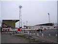
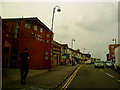
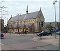
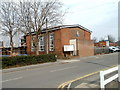
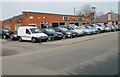
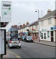

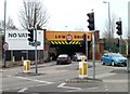
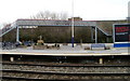

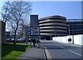
100 photos from this area
Area Information
Key information about the SN1 2ER including its size, population, and administrative classification.
- Area Type
- Postcode
- Area Size
- 8342 m²
- Population
- 2472
- Population Density
- 12226 people/km²
House Prices in SN1 2ER
50
Properties
£141,424
Average Sold Price
£68,500
Lowest Price
£255,000
Highest Price
Showing 50 properties
| Address | Type | Beds | Baths | Last Sale Price | Last Sale Date | |
|---|---|---|---|---|---|---|
| 74 Rosebery Street, Swindon, SN1 2ER | Terraced | 2 | - | £235,500 | Dec 2024 | |
| 65 Rosebery Street, Swindon, SN1 2ER | Terraced | 3 | 1 | £255,000 | Jun 2024 | |
| 70 Rosebery Street, Swindon, SN1 2ER | Terraced | 2 | 1 | £233,000 | Apr 2024 | |
| 69 Rosebery Street, Swindon, SN1 2ER | house | - | - | £215,000 | Oct 2021 | |
| 57 Rosebery Street, Swindon, SN1 2ER | house | - | - | £154,000 | May 2021 | |
| 59 Rosebery Street, Swindon, SN1 2ER | house | 2 | - | £185,000 | Mar 2021 | |
| 52 Rosebery Street, Swindon, SN1 2ER | house | - | - | £170,000 | Mar 2021 | |
| 37 Rosebery Street, Swindon, SN1 2ER | house | - | - | £185,000 | Mar 2021 | |
| 39 Rosebery Street, Swindon, SN1 2ER | house | - | - | £180,000 | Oct 2020 | |
| 53 Rosebery Street, Swindon, SN1 2ER | house | 2 | 1 | £190,000 | Dec 2018 |
Page 1 of 5
Energy Efficiency in SN1 2ER
Amenities
Schools
| Rank | School | Type | Entry gender | Ages |
|---|
Explore more schools in this area
Go to Schools tabDemographics
Household Size
Family (3-5 people)
most common
Accommodation Type
Houses
most common
Tenure
53
majority
Ethnic Group
asian_total
most common
Religion
N/A
most common
Household Composition
N/A
most common
Age
47
median
Adults (30-64 years)
most common
Household Deprivation
N/A
with no deprivation
NS-SEC
11
in Lower managerial occupations
Explore more demographic insights in this area
Go to Demographics tabPlanning
Planning Constraints
- Flood RiskPremium
- Ramsar Wetland SitesPremium
- Area of Outstanding Natural BeautyPremium
- Protected Nature ReservePremium
- Protected WoodlandPremium