Area Overview for SN1 2DU
Photos of SN1 2DU
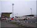
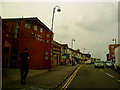
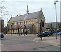

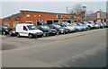
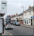

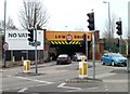
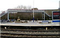


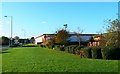
100 photos from this area
Area Information
Key information about the SN1 2DU including its size, population, and administrative classification.
- Area Type
- Postcode
- Area Size
- 4020 m²
- Population
- 3155
- Population Density
- 20394 people/km²
House Prices in SN1 2DU
24
Properties
£142,550
Average Sold Price
£33,500
Lowest Price
£235,000
Highest Price
Showing 24 properties
| Address | Type | Beds | Baths | Last Sale Price | Last Sale Date | |
|---|---|---|---|---|---|---|
| 55 Broad Street, Swindon, SN1 2DU | Terraced | 4 | 2 | £235,000 | Jul 2025 | |
| 92 Broad Street, Swindon, SN1 2DU | house | - | - | £230,000 | Mar 2023 | |
| 56 Broad Street, Swindon, SN1 2DU | Terraced | 3 | 1 | £230,000 | Nov 2019 | |
| 89 Broad Street, Swindon, SN1 2DU | house | - | - | £175,000 | Jul 2018 | |
| 54 Broad Street, Swindon, SN1 2DU | house | - | - | £158,000 | Dec 2005 | |
| 62 Broad Street, Swindon, SN1 2DU | Terraced | - | - | £141,500 | Jul 2004 | |
| 85 Broad Street, Swindon, SN1 2DU | house | - | - | £130,000 | Aug 2003 | |
| 60 Broad Street, Swindon, SN1 2DU | Terraced | - | - | £55,500 | Apr 1999 | |
| 58 Broad Street, Swindon, SN1 2DU | Flat | - | - | £37,000 | Apr 1997 | |
| 90 Broad Street, Swindon, SN1 2DU | house | - | - | £33,500 | Jun 1996 |
Page 1 of 3
Energy Efficiency in SN1 2DU
Amenities
Schools
| Rank | School | Type | Entry gender | Ages |
|---|
Explore more schools in this area
Go to Schools tabDemographics
Household Size
Family (3-5 people)
most common
Accommodation Type
Houses
most common
Tenure
49
majority
Ethnic Group
asian_total
most common
Religion
N/A
most common
Household Composition
N/A
most common
Age
47
median
Adults (30-64 years)
most common
Household Deprivation
N/A
with no deprivation
NS-SEC
9
in Lower managerial occupations
Explore more demographic insights in this area
Go to Demographics tabPlanning
Planning Constraints
- Flood RiskPremium
- Ramsar Wetland SitesPremium
- Area of Outstanding Natural BeautyPremium
- Protected Nature ReservePremium
- Protected WoodlandPremium