Area Overview for PL7 4EW
Photos of PL7 4EW
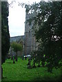
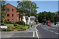
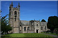
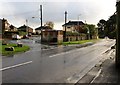
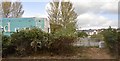
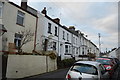
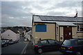
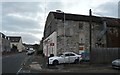
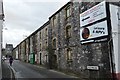
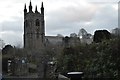
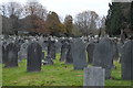
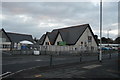
54 photos from this area
Area Information
Key information about the PL7 4EW including its size, population, and administrative classification.
- Area Type
- Postcode
- Area Size
- 6828 m²
- Population
- 1645
- Population Density
- 3197 people/km²
House Prices in PL7 4EW
14
Properties
£249,350
Average Sold Price
£74,950
Lowest Price
£400,000
Highest Price
Showing 14 properties
| Address | Type | Beds | Baths | Last Sale Price | Last Sale Date | |
|---|---|---|---|---|---|---|
| St Vida, 9 The Lane, Plymouth, PL7 4EW | house | 3 | 2 | £400,000 | Jan 2022 | |
| Portelet, 16 The Lane, Plymouth, PL7 4EW | house | - | - | £260,000 | Dec 2021 | |
| Boringdon Croft, 10 The Lane, Plymouth, PL7 4EW | Detached | 4 | 1 | £265,000 | Aug 2021 | |
| Ostlers, 12 The Lane, Plymouth, PL7 4EW | Detached | 3 | 2 | £310,000 | May 2017 | |
| Holly House, 14 The Lane, Plymouth, PL7 4EW | Detached | 4 | 2 | £315,000 | Nov 2016 | |
| The Mews, 20 The Lane, Plymouth, PL7 4EW | Terraced | 2 | 1 | £210,000 | Oct 2015 | |
| 2 The Lane, Plymouth, PL7 4EW | Detached | - | - | £329,950 | Jun 2012 | |
| 4 The Lane, Plymouth, PL7 4EW | Detached | - | - | £329,950 | Jun 2012 | |
| The Coach House, 22 The Lane, Plymouth, PL7 4EW | Terraced | - | - | £170,000 | Jan 2003 | |
| Bramblewood, 18 The Lane, Plymouth, PL7 4EW | house | - | - | £74,950 | May 1999 |
Page 1 of 2
Energy Efficiency in PL7 4EW
Amenities
Schools
| Rank | School | Type | Entry gender | Ages |
|---|
Explore more schools in this area
Go to Schools tabDemographics
Household Size
Two person
most common
Accommodation Type
Houses
most common
Tenure
75
majority
Ethnic Group
White
most common
Religion
N/A
most common
Household Composition
N/A
most common
Age
47
median
Elderly (65+ years)
most common
Household Deprivation
N/A
with no deprivation
NS-SEC
31
in Lower managerial occupations
Explore more demographic insights in this area
Go to Demographics tabPlanning
Planning Constraints
- Flood RiskPremium
- Ramsar Wetland SitesPremium
- Area of Outstanding Natural BeautyPremium
- Protected Nature ReservePremium
- Protected WoodlandPremium