Area Overview for PL7 4JU
Photos of PL7 4JU
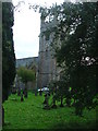
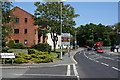
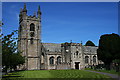
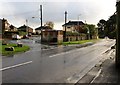
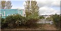


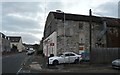
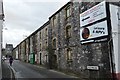
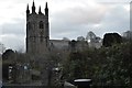
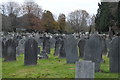
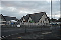
54 photos from this area
Area Information
Key information about the PL7 4JU including its size, population, and administrative classification.
- Area Type
- Postcode
- Area Size
- 1.9 hectares
- Population
- 1645
- Population Density
- 3197 people/km²
House Prices in PL7 4JU
31
Properties
£191,515
Average Sold Price
£73,000
Lowest Price
£385,000
Highest Price
Showing 31 properties
| Address | Type | Beds | Baths | Last Sale Price | Last Sale Date | |
|---|---|---|---|---|---|---|
| 16 Vicarage Road, Plymouth, PL7 4JU | Bungalow | 4 | 3 | £385,000 | Jul 2025 | |
| 12 Vicarage Road, Plymouth, PL7 4JU | Bungalow | 3 | 2 | £355,000 | Mar 2024 | |
| 23 Vicarage Road, Plymouth, PL7 4JU | Semi-detached | 2 | 1 | £235,000 | Dec 2019 | |
| 15 Vicarage Road, Plymouth, PL7 4JU | Semi-detached | 3 | - | £256,000 | Jan 2016 | |
| 10 Vicarage Road, Plymouth, PL7 4JU | Bungalow | 2 | 1 | £189,950 | Nov 2015 | |
| The Coach House, 7A Vicarage Road, Plymouth, PL7 4JU | Semi-detached | - | - | £96,250 | Jun 2002 | |
| 2 Vicarage Road, Plymouth, PL7 4JU | Semi-detached | - | - | £138,500 | Jun 2001 | |
| 14 Vicarage Road, Plymouth, PL7 4JU | house | - | - | £96,500 | Dec 1999 | |
| 13 Vicarage Road, Plymouth, PL7 4JU | Semi-detached | - | - | £73,000 | Apr 1999 | |
| 6 Vicarage Road, Plymouth, PL7 4JU | house | - | - | £89,950 | Nov 1998 |
Page 1 of 4
Energy Efficiency in PL7 4JU
Amenities
Schools
| Rank | School | Type | Entry gender | Ages |
|---|
Explore more schools in this area
Go to Schools tabDemographics
Household Size
Two person
most common
Accommodation Type
Houses
most common
Tenure
75
majority
Ethnic Group
White
most common
Religion
N/A
most common
Household Composition
N/A
most common
Age
47
median
Elderly (65+ years)
most common
Household Deprivation
N/A
with no deprivation
NS-SEC
31
in Lower managerial occupations
Explore more demographic insights in this area
Go to Demographics tabPlanning
Planning Constraints
- Flood RiskPremium
- Ramsar Wetland SitesPremium
- Area of Outstanding Natural BeautyPremium
- Protected Nature ReservePremium
- Protected WoodlandPremium