Area Overview for PL19 9AL
Photos of PL19 9AL
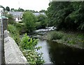
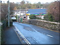
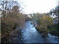

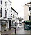
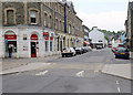

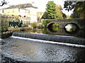
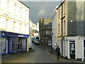
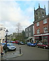
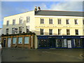
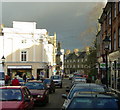
100 photos from this area
Area Information
Key information about the PL19 9AL including its size, population, and administrative classification.
- Area Type
- Postcode
- Area Size
- 2.5 hectares
- Population
- 1415
- Population Density
- 1148 people/km²
House Prices in PL19 9AL
37
Properties
£308,905
Average Sold Price
£73,500
Lowest Price
£475,000
Highest Price
Showing 37 properties
| Address | Type | Beds | Baths | Last Sale Price | Last Sale Date | |
|---|---|---|---|---|---|---|
| 35 Milton Crescent, Tavistock, PL19 9AL | house | 4 | 1 | £415,500 | Sep 2025 | |
| 45 Milton Crescent, Tavistock, PL19 9AL | Semi-detached | 4 | 2 | £450,000 | Jul 2024 | |
| 19 Milton Crescent, Tavistock, PL19 9AL | Detached | 2 | 1 | £346,000 | Mar 2023 | |
| 51 Milton Crescent, Tavistock, PL19 9AL | Bungalow | 3 | 1 | £475,000 | Mar 2023 | |
| 5 Milton Crescent, Tavistock, PL19 9AL | Bungalow | - | - | £326,666 | Jul 2021 | |
| 13 Milton Crescent, Tavistock, PL19 9AL | Detached | 3 | 2 | £450,000 | Jun 2021 | |
| 11 Milton Crescent, Tavistock, PL19 9AL | house | - | - | £410,000 | Jun 2021 | |
| 16 Milton Crescent, Tavistock, PL19 9AL | Bungalow | 3 | 1 | £395,000 | Feb 2021 | |
| 21 Milton Crescent, Tavistock, PL19 9AL | house | - | - | £280,000 | Dec 2020 | |
| 18 Milton Crescent, Tavistock, PL19 9AL | Bungalow | 3 | 1 | £310,000 | Nov 2020 |
Page 1 of 4
Energy Efficiency in PL19 9AL
Amenities
Schools
| Rank | School | Type | Entry gender | Ages |
|---|
Explore more schools in this area
Go to Schools tabDemographics
Household Size
One person
most common
Accommodation Type
Houses
most common
Tenure
61
majority
Ethnic Group
White
most common
Religion
N/A
most common
Household Composition
N/A
most common
Age
47
median
Adults (30-64 years)
most common
Household Deprivation
N/A
with no deprivation
NS-SEC
28
in Lower managerial occupations
Explore more demographic insights in this area
Go to Demographics tabPlanning
Planning Constraints
- Flood RiskPremium
- Ramsar Wetland SitesPremium
- Area of Outstanding Natural BeautyPremium
- Protected Nature ReservePremium
- Protected WoodlandPremium