Area Overview for PL19 9HS
Photos of PL19 9HS
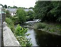
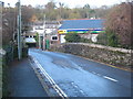
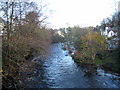
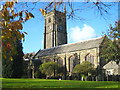
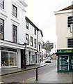
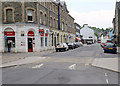

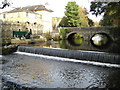
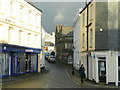
100 photos from this area
Area Information
Key information about the PL19 9HS including its size, population, and administrative classification.
- Area Type
- Postcode
- Area Size
- 6524 m²
- Population
- 1415
- Population Density
- 1148 people/km²
House Prices in PL19 9HS
19
Properties
£158,592
Average Sold Price
£120,000
Lowest Price
£205,777
Highest Price
Showing 19 properties
| Address | Type | Beds | Baths | Last Sale Price | Last Sale Date | |
|---|---|---|---|---|---|---|
| 88 Tavy Road, Tavistock, PL19 9HS | Semi-detached | 3 | 1 | £205,777 | Jul 2017 | |
| 84 Tavy Road, Tavistock, PL19 9HS | house | - | - | £150,000 | Aug 2007 | |
| 85 Tavy Road, Tavistock, PL19 9HS | Terraced | - | - | £120,000 | Feb 2007 | |
| 53 Tavy Road, Tavistock, PL19 9HS | Semi-detached | 2 | - | - | - | |
| 55 Tavy Road, Tavistock, PL19 9HS | Terraced | - | - | - | - | |
| 95 Tavy Road, Tavistock, PL19 9HS | house | - | - | - | - | |
| 86 Tavy Road, Tavistock, PL19 9HS | Semi-detached | - | - | - | - | |
| 96 Tavy Road, Tavistock, PL19 9HS | Flat | - | - | - | - | |
| 94 Tavy Road, Tavistock, PL19 9HS | Flat | - | - | - | - | |
| 92 Tavy Road, Tavistock, PL19 9HS | Flat | - | - | - | - |
Page 1 of 2
Energy Efficiency in PL19 9HS
Amenities
Schools
| Rank | School | Type | Entry gender | Ages |
|---|
Explore more schools in this area
Go to Schools tabDemographics
Household Size
One person
most common
Accommodation Type
Houses
most common
Tenure
61
majority
Ethnic Group
White
most common
Religion
N/A
most common
Household Composition
N/A
most common
Age
47
median
Adults (30-64 years)
most common
Household Deprivation
N/A
with no deprivation
NS-SEC
28
in Lower managerial occupations
Explore more demographic insights in this area
Go to Demographics tabPlanning
Planning Constraints
- Flood RiskPremium
- Ramsar Wetland SitesPremium
- Area of Outstanding Natural BeautyPremium
- Protected Nature ReservePremium
- Protected WoodlandPremium