Area Overview for BS48 4NZ
Photos of BS48 4NZ
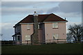
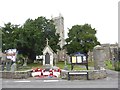
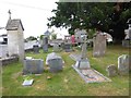
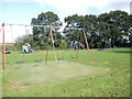
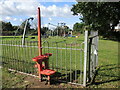
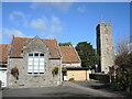
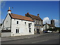
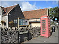
26 photos from this area
Area Information
Key information about the BS48 4NZ including its size, population, and administrative classification.
- Area Type
- Postcode
- Area Size
- 3.0 hectares
- Population
- Not available
- Population Density
- Not available
House Prices in BS48 4NZ
16
Properties
£360,800
Average Sold Price
£195,000
Lowest Price
£512,000
Highest Price
Showing 16 properties
| Address | Type | Beds | Baths | Last Sale Price | Last Sale Date | |
|---|---|---|---|---|---|---|
| 3 Morgans Hill Close, Nailsea, BS48 4NZ | house | - | - | £512,000 | Jan 2023 | |
| 5 Morgans Hill Close, Nailsea, BS48 4NZ | Bungalow | - | - | £475,000 | Nov 2021 | |
| 10 Morgans Hill Close, Nailsea, BS48 4NZ | Bungalow | - | - | £395,000 | Aug 2019 | |
| 1 Morgans Hill Close, Nailsea, BS48 4NZ | house | - | - | £405,000 | Apr 2019 | |
| 9 Morgans Hill Close, Nailsea, BS48 4NZ | Bungalow | - | - | £360,000 | Mar 2017 | |
| 2 Morgans Hill Close, Nailsea, BS48 4NZ | Detached | 4 | - | £396,000 | May 2016 | |
| 4 Morgans Hill Close, Nailsea, BS48 4NZ | Detached | 3 | - | £340,000 | Aug 2014 | |
| 12 Morgans Hill Close, Nailsea, BS48 4NZ | Terraced | - | - | £280,000 | Apr 2011 | |
| 6 Morgans Hill Close, Nailsea, BS48 4NZ | Bungalow | - | - | £250,000 | Oct 2006 | |
| 8 Morgans Hill Close, Nailsea, BS48 4NZ | Bungalow | - | - | £195,000 | Sep 2002 |
Page 1 of 2
Energy Efficiency in BS48 4NZ
Amenities
Schools
| Rank | School | Type | Entry gender | Ages |
|---|
Explore more schools in this area
Go to Schools tabDemographics
Household Size
Two person
most common
Accommodation Type
Houses
most common
Tenure
77
majority
Ethnic Group
White
most common
Religion
N/A
most common
Household Composition
N/A
most common
Age
47
median
Adults (30-64 years)
most common
Household Deprivation
N/A
with no deprivation
NS-SEC
40
in Lower managerial occupations
Explore more demographic insights in this area
Go to Demographics tabPlanning
Planning Constraints
- Flood RiskPremium
- Ramsar Wetland SitesPremium
- Area of Outstanding Natural BeautyPremium
- Protected Nature ReservePremium
- Protected WoodlandPremium