Area Overview for BS48 4ND
Photos of BS48 4ND
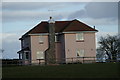
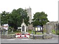
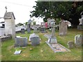
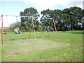
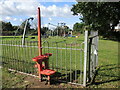
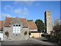
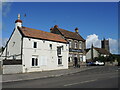
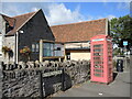
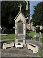
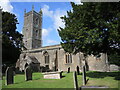
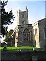
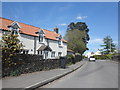
26 photos from this area
Area Information
Key information about the BS48 4ND including its size, population, and administrative classification.
- Area Type
- Postcode
- Area Size
- 1.2 hectares
- Population
- Not available
- Population Density
- Not available
House Prices in BS48 4ND
25
Properties
£292,430
Average Sold Price
£85,950
Lowest Price
£567,500
Highest Price
Showing 25 properties
| Address | Type | Beds | Baths | Last Sale Price | Last Sale Date | |
|---|---|---|---|---|---|---|
| 98 Old Church Road, Nailsea, BS48 4ND | Cottage | 2 | 1 | £230,000 | Apr 2024 | |
| 95 Old Church Road, Nailsea, BS48 4ND | Bungalow | 3 | 2 | £385,000 | Jul 2023 | |
| 103 Old Church Road, Nailsea, BS48 4ND | house | - | - | £410,000 | Nov 2021 | |
| 94 Old Church Road, Nailsea, BS48 4ND | house | - | - | £395,000 | Sep 2021 | |
| 81 Old Church Road, Nailsea, BS48 4ND | Bungalow | - | - | £290,000 | Jul 2017 | |
| 89 Old Church Road, Nailsea, BS48 4ND | Bungalow | - | - | £313,000 | Oct 2016 | |
| 79 Old Church Road, Nailsea, BS48 4ND | Bungalow | - | - | £300,000 | Jan 2016 | |
| 87 Old Church Road, Nailsea, BS48 4ND | Bungalow | 3 | 1 | £230,000 | Aug 2012 | |
| 105 Old Church Road, Nailsea, BS48 4ND | house | 4 | - | £300,000 | Dec 2009 | |
| 91 Old Church Road, Nailsea, BS48 4ND | Detached | - | - | £247,000 | Aug 2007 |
Page 1 of 3
Energy Efficiency in BS48 4ND
Amenities
Schools
| Rank | School | Type | Entry gender | Ages |
|---|
Explore more schools in this area
Go to Schools tabDemographics
Household Size
Two person
most common
Accommodation Type
Houses
most common
Tenure
77
majority
Ethnic Group
White
most common
Religion
N/A
most common
Household Composition
N/A
most common
Age
47
median
Adults (30-64 years)
most common
Household Deprivation
N/A
with no deprivation
NS-SEC
40
in Lower managerial occupations
Explore more demographic insights in this area
Go to Demographics tabPlanning
Planning Constraints
- Flood RiskPremium
- Ramsar Wetland SitesPremium
- Area of Outstanding Natural BeautyPremium
- Protected Nature ReservePremium
- Protected WoodlandPremium