Area Overview for BS48 2AR
Photos of BS48 2AR
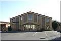
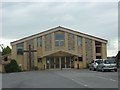
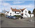
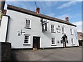
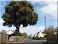
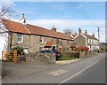

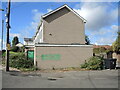
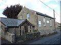
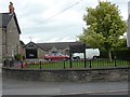
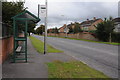
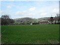
24 photos from this area
Area Information
Key information about the BS48 2AR including its size, population, and administrative classification.
- Area Type
- Postcode
- Area Size
- 9156 m²
- Population
- 1348
- Population Density
- 1641 people/km²
House Prices in BS48 2AR
17
Properties
£296,268
Average Sold Price
£65,000
Lowest Price
£750,000
Highest Price
Showing 17 properties
| Address | Type | Beds | Baths | Last Sale Price | Last Sale Date | |
|---|---|---|---|---|---|---|
| 13 Fosse Lane, Nailsea, BS48 2AR | Detached | 4 | 2 | £552,500 | Aug 2025 | |
| 10 Fosse Lane, Nailsea, BS48 2AR | house | - | - | £750,000 | Nov 2022 | |
| 17 Fosse Lane, Nailsea, BS48 2AR | house | - | - | £307,500 | Jun 2021 | |
| 4 Fosse Lane, Nailsea, BS48 2AR | Bungalow | - | - | £335,000 | Feb 2021 | |
| Fosse Cottage, 12 Fosse Lane, Nailsea, BS48 2AR | Cottage | 4 | - | £400,000 | Aug 2015 | |
| 11B Fosse Lane, Nailsea, BS48 2AR | house | 2 | 1 | £209,000 | Jun 2015 | |
| 1 Fosse Lane, Nailsea, BS48 2AR | Detached | 2 | 1 | £275,000 | Jun 2015 | |
| 11A Fosse Lane, Nailsea, BS48 2AR | Semi-detached | 2 | 1 | £173,000 | Dec 2009 | |
| 9-11 Fosse Lane, Nailsea, BS48 2AR | Semi-detached | - | - | £112,950 | Aug 2002 | |
| 15 Fosse Lane, Nailsea, BS48 2AR | Semi-detached | - | - | £79,000 | Apr 1998 |
Page 1 of 2
Energy Efficiency in BS48 2AR
Amenities
Schools
| Rank | School | Type | Entry gender | Ages |
|---|
Explore more schools in this area
Go to Schools tabDemographics
Household Size
Two person
most common
Accommodation Type
Houses
most common
Tenure
91
majority
Ethnic Group
White
most common
Religion
N/A
most common
Household Composition
N/A
most common
Age
47
median
Adults (30-64 years)
most common
Household Deprivation
N/A
with no deprivation
NS-SEC
40
in Lower managerial occupations
Explore more demographic insights in this area
Go to Demographics tabPlanning
Planning Constraints
- Flood RiskPremium
- Ramsar Wetland SitesPremium
- Area of Outstanding Natural BeautyPremium
- Protected Nature ReservePremium
- Protected WoodlandPremium