Area Overview for BS48 2AD
Photos of BS48 2AD
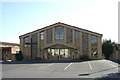
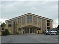
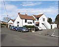
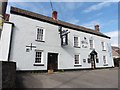
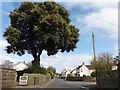
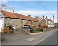
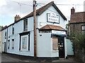
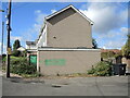
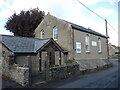
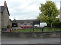
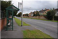
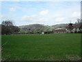
24 photos from this area
Area Information
Key information about the BS48 2AD including its size, population, and administrative classification.
- Area Type
- Postcode
- Area Size
- 1.3 hectares
- Population
- Not available
- Population Density
- Not available
House Prices in BS48 2AD
22
Properties
£253,150
Average Sold Price
£76,500
Lowest Price
£430,000
Highest Price
Showing 22 properties
| Address | Type | Beds | Baths | Last Sale Price | Last Sale Date | |
|---|---|---|---|---|---|---|
| 2 Silverlow Road, Nailsea, BS48 2AD | Bungalow | 3 | 1 | £430,000 | Jun 2023 | |
| 18 Silverlow Road, Nailsea, BS48 2AD | Bungalow | - | - | £295,000 | Dec 2019 | |
| 12 Silverlow Road, Nailsea, BS48 2AD | Semi-detached | 3 | 1 | £379,000 | Apr 2018 | |
| 13 Silverlow Road, Nailsea, BS48 2AD | Bungalow | 4 | 2 | £366,500 | Dec 2016 | |
| 17 Silverlow Road, Nailsea, BS48 2AD | Bungalow | 3 | 1 | £289,500 | Jun 2014 | |
| 24 Silverlow Road, Nailsea, BS48 2AD | Bungalow | - | - | £277,000 | Sep 2012 | |
| 9 Silverlow Road, Nailsea, BS48 2AD | Bungalow | - | - | £195,000 | Oct 2009 | |
| 11 Silverlow Road, Nailsea, BS48 2AD | Semi-detached | - | - | £128,000 | Sep 2001 | |
| 4 Silverlow Road, Nailsea, BS48 2AD | Detached | - | - | £95,000 | Sep 1997 | |
| 15 Silverlow Road, Nailsea, BS48 2AD | Detached | - | - | £76,500 | Jul 1995 |
Page 1 of 3
Energy Efficiency in BS48 2AD
Amenities
Schools
| Rank | School | Type | Entry gender | Ages |
|---|
Explore more schools in this area
Go to Schools tabDemographics
Household Size
One person
most common
Accommodation Type
Houses
most common
Tenure
71
majority
Ethnic Group
White
most common
Religion
N/A
most common
Household Composition
N/A
most common
Age
47
median
Adults (30-64 years)
most common
Household Deprivation
N/A
with no deprivation
NS-SEC
34
in Lower managerial occupations
Explore more demographic insights in this area
Go to Demographics tabPlanning
Planning Constraints
- Flood RiskPremium
- Ramsar Wetland SitesPremium
- Area of Outstanding Natural BeautyPremium
- Protected Nature ReservePremium
- Protected WoodlandPremium