Area Overview for BS21 6TT
Photos of BS21 6TT
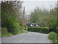
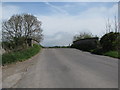
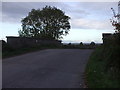
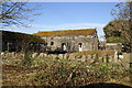
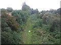
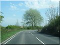
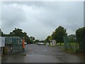
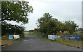
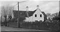
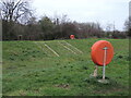
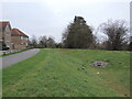
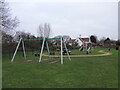
25 photos from this area
Area Information
Key information about the BS21 6TT including its size, population, and administrative classification.
- Area Type
- Postcode
- Area Size
- 1.0 km²
- Population
- 1732
- Population Density
- 91 people/km²
House Prices in BS21 6TT
13
Properties
£650,000
Average Sold Price
£425,000
Lowest Price
£1,060,000
Highest Price
Showing 13 properties
| Address | Type | Beds | Baths | Last Sale Price | Last Sale Date | |
|---|---|---|---|---|---|---|
| Walnut Tree Farm, Kenn Road, Kenn, BS21 6TT | Detached | 4 | 2 | £1,060,000 | Mar 2025 | |
| Woodbine Cottage, Kenn Road, Kenn, BS21 6TT | house | 5 | - | £680,000 | Nov 2015 | |
| The Retreat, Rust Lane, Clevedon, BS21 6TT | Bungalow | - | - | £425,000 | Jan 2014 | |
| Willow House, Kenn Road, Kenn, BS21 6TT | Detached | - | - | £435,000 | Sep 2003 | |
| Greenacres, Kenn Road, Kenn, BS21 6TT | Detached | 4 | 2 | - | - | |
| 1, Wendover, Kenn Road, Clevedon, BS21 6TT | Unknown | - | - | - | - | |
| Orchard Farm, Kenn Road, Kenn, BS21 6TT | Detached | - | - | - | - | |
| Unique, Kenn Road, Kenn, BS21 6TT | Terraced | - | - | - | - | |
| Treetops, Kenn Road, Kenn, BS21 6TT | Detached | - | - | - | - | |
| 2, Wendover, Kenn Road, Kenn, BS21 6TT | Semi-detached | - | - | - | - |
Page 1 of 2
Energy Efficiency in BS21 6TT
Amenities
Schools
| Rank | School | Type | Entry gender | Ages |
|---|
Explore more schools in this area
Go to Schools tabDemographics
Household Size
Two person
most common
Accommodation Type
Houses
most common
Tenure
78
majority
Ethnic Group
White
most common
Religion
N/A
most common
Household Composition
N/A
most common
Age
47
median
Adults (30-64 years)
most common
Household Deprivation
N/A
with no deprivation
NS-SEC
38
in Lower managerial occupations
Explore more demographic insights in this area
Go to Demographics tabPlanning
Planning Constraints
- Flood RiskPremium
- Ramsar Wetland SitesPremium
- Area of Outstanding Natural BeautyPremium
- Protected Nature ReservePremium
- Protected WoodlandPremium