Area Overview for BS21 6TR
Photos of BS21 6TR
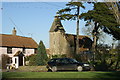
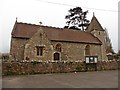
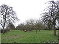
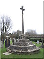
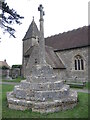
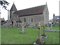
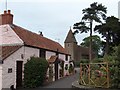
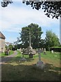
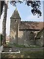
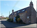
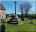
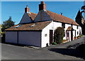
33 photos from this area
Area Information
Key information about the BS21 6TR including its size, population, and administrative classification.
- Area Type
- Postcode
- Area Size
- 35.6 hectares
- Population
- 1732
- Population Density
- 91 people/km²
House Prices in BS21 6TR
16
Properties
£625,875
Average Sold Price
£302,500
Lowest Price
£1,220,000
Highest Price
Showing 16 properties
| Address | Type | Beds | Baths | Last Sale Price | Last Sale Date | |
|---|---|---|---|---|---|---|
| Bristol Classic And Sports Cars Ltd, Kenn Court Farm, Kenn Road, Kenn, BS21 6TR | Semi-detached | 4 | - | £1,220,000 | Aug 2022 | |
| 2, Kenn Court Cottages, Kenn Road, Kenn, BS21 6TR | Detached | 4 | 2 | £513,000 | Dec 2018 | |
| Bram Rigg, Kenn Road, Kenn, BS21 6TR | Detached | 4 | 2 | £468,000 | Mar 2016 | |
| 1, Kenn Court Cottages, Kenn Road, Kenn, BS21 6TR | house | - | - | £302,500 | Aug 2010 | |
| 1, Cider Cottage, Kenn Court Farm, Kenn Road, Kenn, BS21 6TR | Semi-detached | 3 | 1 | - | - | |
| Annexe, Kenn Court Farm, Kenn Road, Clevedon, BS21 6TR | Detached | 2 | 1 | - | - | |
| At Kenn Court Cottages Proposed New Dwelling 1, Kenn Road, Clevedon, BS21 6TR | Unknown | - | - | - | - | |
| At Kenn Court Cottages Proposed New Dwelling 2, Kenn Road, Clevedon, BS21 6TR | Unknown | - | - | - | - | |
| The Cider House, Kenn Road, Kenn, BS21 6TR | Detached | - | - | - | - | |
| The Cider House, Kenn Court Farm, Kenn Road, Kenn, BS21 6TR | Detached | - | - | - | - |
Page 1 of 2
Energy Efficiency in BS21 6TR
Amenities
Schools
| Rank | School | Type | Entry gender | Ages |
|---|
Explore more schools in this area
Go to Schools tabDemographics
Household Size
Two person
most common
Accommodation Type
Houses
most common
Tenure
78
majority
Ethnic Group
White
most common
Religion
N/A
most common
Household Composition
N/A
most common
Age
47
median
Adults (30-64 years)
most common
Household Deprivation
N/A
with no deprivation
NS-SEC
38
in Lower managerial occupations
Explore more demographic insights in this area
Go to Demographics tabPlanning
Planning Constraints
- Flood RiskPremium
- Ramsar Wetland SitesPremium
- Area of Outstanding Natural BeautyPremium
- Protected Nature ReservePremium
- Protected WoodlandPremium