Area Overview for BA14 9RG
Photos of BA14 9RG
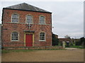
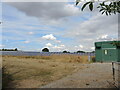
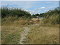
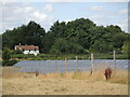
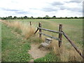
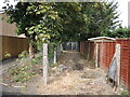
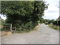
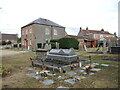
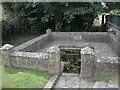
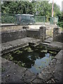
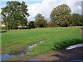
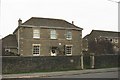
18 photos from this area
Area Information
Key information about the BA14 9RG including its size, population, and administrative classification.
- Area Type
- Postcode
- Area Size
- 12.7 hectares
- Population
- 2456
- Population Density
- 142 people/km²
House Prices in BA14 9RG
19
Properties
£307,681
Average Sold Price
£87,000
Lowest Price
£750,000
Highest Price
Showing 19 properties
| Address | Type | Beds | Baths | Last Sale Price | Last Sale Date | |
|---|---|---|---|---|---|---|
| 38 Wynsome Street, Southwick, BA14 9RG | Detached | - | - | £750,000 | Dec 2022 | |
| 21 Wynsome Street, Southwick, BA14 9RG | Detached | 3 | 2 | £266,500 | Sep 2020 | |
| 29 Wynsome Street, Southwick, BA14 9RG | Bungalow | - | - | £310,000 | Aug 2020 | |
| 31 Wynsome Street, Southwick, BA14 9RG | house | - | - | £186,300 | Nov 2019 | |
| 19A Wynsome Street, Southwick, BA14 9RG | Detached | 2 | 1 | £217,000 | Apr 2019 | |
| 25A Wynsome Street, Southwick, BA14 9RG | house | - | - | £490,000 | Sep 2010 | |
| 19 Wynsome Street, Southwick, BA14 9RG | Detached | 4 | 1 | £182,505 | Apr 2005 | |
| 40 Wynsome Street, Southwick, BA14 9RG | Bungalow | - | - | £297,500 | Jan 2001 | |
| 48 Wynsome Street, Southwick, BA14 9RG | Detached | - | - | £87,000 | May 1998 | |
| 42 Wynsome Street, Southwick, BA14 9RG | Detached | - | - | £290,000 | May 1997 |
Page 1 of 2
Energy Efficiency in BA14 9RG
Amenities
Schools
| Rank | School | Type | Entry gender | Ages |
|---|
Explore more schools in this area
Go to Schools tabDemographics
Household Size
Two person
most common
Accommodation Type
Houses
most common
Tenure
80
majority
Ethnic Group
White
most common
Religion
N/A
most common
Household Composition
N/A
most common
Age
47
median
Adults (30-64 years)
most common
Household Deprivation
N/A
with no deprivation
NS-SEC
34
in Lower managerial occupations
Explore more demographic insights in this area
Go to Demographics tabPlanning
Planning Constraints
- Flood RiskPremium
- Ramsar Wetland SitesPremium
- Area of Outstanding Natural BeautyPremium
- Protected Nature ReservePremium
- Protected WoodlandPremium