Area Overview for SO20 8DS
Photos of SO20 8DS
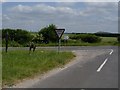

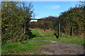
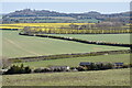
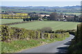
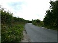
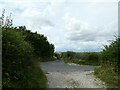
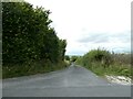
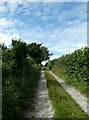
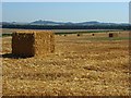
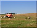
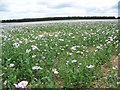
19 photos from this area
Area Information
Key information about the SO20 8DS including its size, population, and administrative classification.
- Area Type
- Postcode
- Area Size
- 5.7 km²
- Population
- 1556
- Population Density
- 37 people/km²
House Prices in SO20 8DS
9
Properties
£505,000
Average Sold Price
£315,000
Lowest Price
£800,000
Highest Price
Showing 9 properties
| Address | Type | Beds | Baths | Last Sale Price | Last Sale Date | |
|---|---|---|---|---|---|---|
| Newton, Stockbridge Road, Nether Wallop, SO20 8DS | Bungalow | 5 | 2 | £800,000 | Jul 2020 | |
| Beech House, Wallop Drove, Nether Wallop, SO20 8DS | house | - | - | £400,000 | Feb 2008 | |
| Hare House, Stockbridge Road, Nether Wallop, SO20 8DS | house | - | - | £315,000 | Apr 1996 | |
| Broughton Down Farm House, Stockbridge Road, Nether Wallop, SO20 8DS | Detached | 3 | 3 | - | - | |
| Broughton Down Farm Cottage, Stockbridge Road, Nether Wallop, SO20 8DS | undefined | - | - | - | - | |
| Annexe, Norman Court Manor, Stockbridge Road, Nether Wallop, SO20 8DS | Flat | - | - | - | - | |
| X D P Limited, Unit 3, Broughton Down Farm, Stockbridge Road, Nether Wallop, SO20 8DS | Industrial | - | - | - | - | |
| Kestrels Farm, Stockbridge Road, Nether Wallop, SO20 8DS | Bungalow | - | - | - | - | |
| The Lodge, Newton, Stockbridge Road, Nether Wallop, SO20 8DS | Bungalow | - | - | - | - |
Energy Efficiency in SO20 8DS
Amenities
Schools
| Rank | School | Type | Entry gender | Ages |
|---|
Explore more schools in this area
Go to Schools tabDemographics
Household Size
Two person
most common
Accommodation Type
Houses
most common
Tenure
69
majority
Ethnic Group
White
most common
Religion
N/A
most common
Household Composition
N/A
most common
Age
47
median
Adults (30-64 years)
most common
Household Deprivation
N/A
with no deprivation
NS-SEC
44
in Lower managerial occupations
Explore more demographic insights in this area
Go to Demographics tabPlanning
Planning Constraints
- Flood RiskPremium
- Ramsar Wetland SitesPremium
- Area of Outstanding Natural BeautyPremium
- Protected Nature ReservePremium
- Protected WoodlandPremium