Area Overview for SO20 8EY
Photos of SO20 8EY
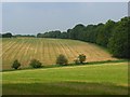
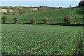
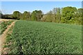
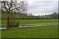
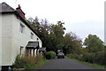
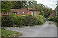
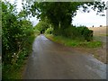
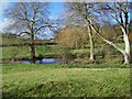
8 photos from this area
Area Information
Key information about the SO20 8EY including its size, population, and administrative classification.
- Area Type
- Postcode
- Area Size
- 79.1 hectares
- Population
- 1556
- Population Density
- 37 people/km²
House Prices in SO20 8EY
15
Properties
£668,438
Average Sold Price
£200,000
Lowest Price
£1,650,000
Highest Price
Showing 15 properties
| Address | Type | Beds | Baths | Last Sale Price | Last Sale Date | |
|---|---|---|---|---|---|---|
| Westleigh, Church Hill, Nether Wallop, SO20 8EY | house | - | - | £1,650,000 | Apr 2025 | |
| Ridge House, Church Hill, Nether Wallop, SO20 8EY | house | - | - | £600,000 | Jan 2020 | |
| Owl Barn, Church Hill, Nether Wallop, SO20 8EY | house | - | - | £835,000 | Aug 2017 | |
| Bramley House, Church Hill, Nether Wallop, SO20 8EY | house | - | - | £700,000 | Sep 2013 | |
| Oxenham House, Church Hill, Nether Wallop, SO20 8EY | house | - | - | £650,000 | May 2013 | |
| Rosedale, Church Hill, Nether Wallop, SO20 8EY | Detached | - | - | £425,000 | May 2007 | |
| Mill View, Church Hill, Nether Wallop, SO20 8EY | Detached | - | - | £287,500 | Oct 2000 | |
| Ashridge, Church Hill, Nether Wallop, SO20 8EY | Semi-detached | 4 | - | £200,000 | Dec 1997 | |
| The Bungalow, Church Hill, Nether Wallop, SO20 8EY | undefined | - | - | - | - | |
| Berry Court Farm, Church Hill, Nether Wallop, SO20 8EY | house | 4 | 3 | - | - |
Page 1 of 2
Energy Efficiency in SO20 8EY
Amenities
Schools
| Rank | School | Type | Entry gender | Ages |
|---|
Explore more schools in this area
Go to Schools tabDemographics
Household Size
Two person
most common
Accommodation Type
Houses
most common
Tenure
69
majority
Ethnic Group
White
most common
Religion
N/A
most common
Household Composition
N/A
most common
Age
47
median
Adults (30-64 years)
most common
Household Deprivation
N/A
with no deprivation
NS-SEC
44
in Lower managerial occupations
Explore more demographic insights in this area
Go to Demographics tabPlanning
Planning Constraints
- Flood RiskPremium
- Ramsar Wetland SitesPremium
- Area of Outstanding Natural BeautyPremium
- Protected Nature ReservePremium
- Protected WoodlandPremium