Area Overview for SO19 4DG
Photos of SO19 4DG
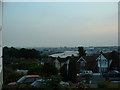
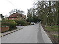
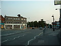
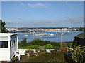
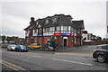

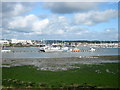


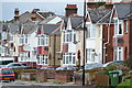
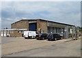
40 photos from this area
Area Information
Key information about the SO19 4DG including its size, population, and administrative classification.
- Area Type
- Postcode
- Area Size
- 9132 m²
- Population
- 1668
- Population Density
- 5407 people/km²
House Prices in SO19 4DG
21
Properties
£268,480
Average Sold Price
£175,000
Lowest Price
£390,000
Highest Price
Showing 21 properties
| Address | Type | Beds | Baths | Last Sale Price | Last Sale Date | |
|---|---|---|---|---|---|---|
| 151 Athelstan Road, Southampton, SO19 4DG | Detached | 3 | 2 | £350,000 | Jun 2023 | |
| 143A Athelstan Road, Southampton, SO19 4DG | Semi-detached | 3 | 1 | £310,000 | Sep 2022 | |
| 127 Athelstan Road, Southampton, SO19 4DG | Detached | 3 | 1 | £315,000 | Oct 2021 | |
| 141 Athelstan Road, Southampton, SO19 4DG | Detached | 3 | 1 | £320,000 | Apr 2021 | |
| 149 Athelstan Road, Southampton, SO19 4DG | Detached | 3 | 1 | £280,000 | Nov 2020 | |
| 135 Athelstan Road, Southampton, SO19 4DG | Detached | 4 | 1 | £390,000 | Oct 2018 | |
| 123 Athelstan Road, Southampton, SO19 4DG | Semi-detached | 3 | 1 | £273,000 | Jun 2016 | |
| 129 Athelstan Road, Southampton, SO19 4DG | Semi-detached | 3 | - | £267,000 | Sep 2015 | |
| 153 Athelstan Road, Southampton, SO19 4DG | Land | 3 | - | £236,000 | Jul 2014 | |
| 143 Athelstan Road, Southampton, SO19 4DG | house | 3 | - | £175,000 | Oct 2013 |
Page 1 of 3
Energy Efficiency in SO19 4DG
Amenities
Schools
| Rank | School | Type | Entry gender | Ages |
|---|
Explore more schools in this area
Go to Schools tabDemographics
Household Size
Family (3-5 people)
most common
Accommodation Type
Houses
most common
Tenure
82
majority
Ethnic Group
White
most common
Religion
N/A
most common
Household Composition
N/A
most common
Age
47
median
Adults (30-64 years)
most common
Household Deprivation
N/A
with no deprivation
NS-SEC
40
in Lower managerial occupations
Explore more demographic insights in this area
Go to Demographics tabPlanning
Planning Constraints
- Flood RiskPremium
- Ramsar Wetland SitesPremium
- Area of Outstanding Natural BeautyPremium
- Protected Nature ReservePremium
- Protected WoodlandPremium