Area Overview for SO19 4DE
Photos of SO19 4DE
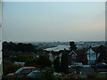
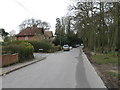
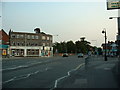
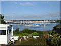
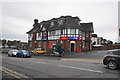
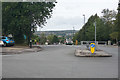
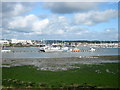


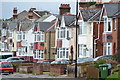


40 photos from this area
Area Information
Key information about the SO19 4DE including its size, population, and administrative classification.
- Area Type
- Postcode
- Area Size
- 1.7 hectares
- Population
- 1668
- Population Density
- 5407 people/km²
House Prices in SO19 4DE
36
Properties
£207,648
Average Sold Price
£54,000
Lowest Price
£430,000
Highest Price
Showing 36 properties
| Address | Type | Beds | Baths | Last Sale Price | Last Sale Date | |
|---|---|---|---|---|---|---|
| 81 Athelstan Road, Southampton, SO19 4DE | Detached | 3 | 1 | £390,000 | Jul 2022 | |
| 91 Athelstan Road, Southampton, SO19 4DE | house | - | - | £245,000 | Oct 2021 | |
| 51 Athelstan Road, Southampton, SO19 4DE | house | - | - | £270,000 | Aug 2021 | |
| 47 Athelstan Road, Southampton, SO19 4DE | Detached | 3 | 1 | £270,000 | Jun 2021 | |
| 83 Athelstan Road, Southampton, SO19 4DE | house | - | - | £430,000 | Mar 2021 | |
| 85 Athelstan Road, Southampton, SO19 4DE | Detached | - | - | £230,000 | Jan 2021 | |
| 97 Athelstan Road, Southampton, SO19 4DE | Semi-detached | 3 | 1 | £290,000 | Nov 2019 | |
| 79 Athelstan Road, Southampton, SO19 4DE | Detached | 3 | 2 | £300,000 | Aug 2019 | |
| 73 Athelstan Road, Southampton, SO19 4DE | Semi-detached | 3 | - | £246,500 | Dec 2015 | |
| 65 Athelstan Road, Southampton, SO19 4DE | Detached | 5 | - | £305,000 | Aug 2014 |
Page 1 of 4
Energy Efficiency in SO19 4DE
Amenities
Schools
| Rank | School | Type | Entry gender | Ages |
|---|
Explore more schools in this area
Go to Schools tabDemographics
Household Size
Family (3-5 people)
most common
Accommodation Type
Houses
most common
Tenure
82
majority
Ethnic Group
White
most common
Religion
N/A
most common
Household Composition
N/A
most common
Age
47
median
Adults (30-64 years)
most common
Household Deprivation
N/A
with no deprivation
NS-SEC
40
in Lower managerial occupations
Explore more demographic insights in this area
Go to Demographics tabPlanning
Planning Constraints
- Flood RiskPremium
- Ramsar Wetland SitesPremium
- Area of Outstanding Natural BeautyPremium
- Protected Nature ReservePremium
- Protected WoodlandPremium