Area Overview for SO14 6WG
Photos of SO14 6WG
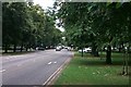
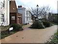
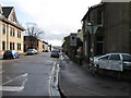
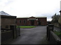
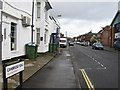
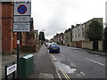
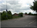
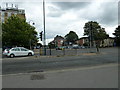
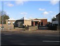
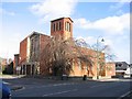
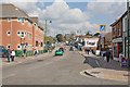
100 photos from this area
Area Information
Key information about the SO14 6WG including its size, population, and administrative classification.
- Area Type
- Postcode
- Area Size
- 8820 m²
- Population
- 1657
- Population Density
- 13253 people/km²
House Prices in SO14 6WG
46
Properties
£330,667
Average Sold Price
£160,000
Lowest Price
£485,000
Highest Price
Showing 46 properties
| Address | Type | Beds | Baths | Last Sale Price | Last Sale Date | |
|---|---|---|---|---|---|---|
| 136 Gordon Avenue, Southampton, SO14 6WG | Semi-detached | 7 | 3 | £485,000 | Oct 2022 | |
| 122 Gordon Avenue, Southampton, SO14 6WG | house | - | - | £376,000 | Nov 2019 | |
| 124 Gordon Avenue, Southampton, SO14 6WG | Semi-detached | 6 | 4 | £335,000 | Jun 2014 | |
| 106 Gordon Avenue, Southampton, SO14 6WG | Semi-detached | 6 | 3 | £305,000 | Nov 2013 | |
| 98 Gordon Avenue, Southampton, SO14 6WG | Semi-detached | 7 | 2 | £230,000 | Jun 2005 | |
| 126 Gordon Avenue, Southampton, SO14 6WG | house | - | - | £460,000 | Dec 2003 | |
| 128 Gordon Avenue, Southampton, SO14 6WG | house | - | - | £460,000 | Dec 2003 | |
| 102 Gordon Avenue, Southampton, SO14 6WG | Semi-detached | 6 | 2 | £160,000 | May 2002 | |
| 116 Gordon Avenue, Southampton, SO14 6WG | house | 9 | 3 | £165,000 | Jun 2000 | |
| 132B Gordon Avenue, Southampton, SO14 6WG | Terraced | 3 | 1 | - | - |
Page 1 of 5
Energy Efficiency in SO14 6WG
Amenities
Schools
| Rank | School | Type | Entry gender | Ages |
|---|
Explore more schools in this area
Go to Schools tabDemographics
Household Size
One person
most common
Accommodation Type
Flats
most common
Tenure
16
majority
Ethnic Group
White
most common
Religion
N/A
most common
Household Composition
N/A
most common
Age
22
median
Young Adults (15-29 years)
most common
Household Deprivation
N/A
with no deprivation
NS-SEC
17
in Lower managerial occupations
Explore more demographic insights in this area
Go to Demographics tabPlanning
Planning Constraints
- Flood RiskPremium
- Ramsar Wetland SitesPremium
- Area of Outstanding Natural BeautyPremium
- Protected Nature ReservePremium
- Protected WoodlandPremium