Area Overview for SO14 6WH
Photos of SO14 6WH
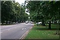
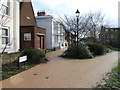
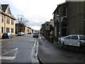
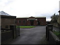
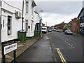
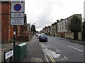
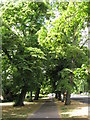
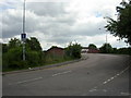
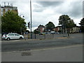
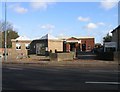

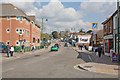
100 photos from this area
Area Information
Key information about the SO14 6WH including its size, population, and administrative classification.
- Area Type
- Postcode
- Area Size
- 6054 m²
- Population
- 1657
- Population Density
- 13253 people/km²
House Prices in SO14 6WH
52
Properties
£309,333
Average Sold Price
£57,500
Lowest Price
£520,000
Highest Price
Showing 52 properties
| Address | Type | Beds | Baths | Last Sale Price | Last Sale Date | |
|---|---|---|---|---|---|---|
| 59 Gordon Avenue, Southampton, SO14 6WH | house | 8 | 2 | £520,000 | Sep 2022 | |
| 65 Gordon Avenue, Southampton, SO14 6WH | Terraced | 6 | 2 | £385,000 | Mar 2016 | |
| 45 Gordon Avenue, Southampton, SO14 6WH | Detached | 8 | 2 | £345,000 | Mar 2014 | |
| 55 Gordon Avenue, Southampton, SO14 6WH | Detached | 7 | 2 | £370,000 | Jul 2010 | |
| 57 Gordon Avenue, Southampton, SO14 6WH | house | - | - | £380,000 | Jul 2007 | |
| 69 Gordon Avenue, Southampton, SO14 6WH | Semi-detached | 7 | 2 | £287,500 | Jul 2007 | |
| 63 Gordon Avenue, Southampton, SO14 6WH | Detached | 9 | 3 | £396,000 | May 2007 | |
| 61 Gordon Avenue, Southampton, SO14 6WH | Semi-detached | 7 | 2 | £396,000 | May 2007 | |
| 37 Gordon Avenue, Southampton, SO14 6WH | Semi-detached | 7 | 2 | £300,000 | Jan 2007 | |
| 67 Gordon Avenue, Southampton, SO14 6WH | house | 6 | 2 | £209,000 | Aug 2002 |
Page 1 of 6
Energy Efficiency in SO14 6WH
Amenities
Schools
| Rank | School | Type | Entry gender | Ages |
|---|
Explore more schools in this area
Go to Schools tabDemographics
Household Size
One person
most common
Accommodation Type
Flats
most common
Tenure
16
majority
Ethnic Group
White
most common
Religion
N/A
most common
Household Composition
N/A
most common
Age
22
median
Young Adults (15-29 years)
most common
Household Deprivation
N/A
with no deprivation
NS-SEC
17
in Lower managerial occupations
Explore more demographic insights in this area
Go to Demographics tabPlanning
Planning Constraints
- Flood RiskPremium
- Ramsar Wetland SitesPremium
- Area of Outstanding Natural BeautyPremium
- Protected Nature ReservePremium
- Protected WoodlandPremium