Area Overview for RH8 9HE
Photos of RH8 9HE
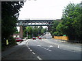
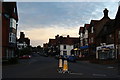
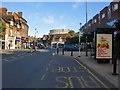
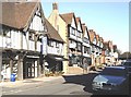
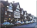
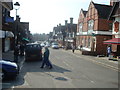
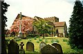
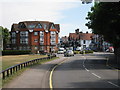
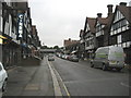
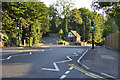
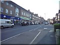
100 photos from this area
Area Information
Key information about the RH8 9HE including its size, population, and administrative classification.
- Area Type
- Postcode
- Area Size
- 4.2 hectares
- Population
- 1431
- Population Density
- 1161 people/km²
House Prices in RH8 9HE
19
Properties
£1,578,333
Average Sold Price
£660,000
Lowest Price
£3,200,000
Highest Price
Showing 19 properties
| Address | Type | Beds | Baths | Last Sale Price | Last Sale Date | |
|---|---|---|---|---|---|---|
| Larch Rising, Quarry Road, Oxted, RH8 9HE | Detached | 5 | 3 | £2,050,000 | Aug 2023 | |
| Alderwood, Quarry Road, Oxted, RH8 9HE | Retail | 5 | 4 | £1,910,000 | Aug 2022 | |
| Nantucket, Quarry Road, Oxted, RH8 9HE | house | 5 | 4 | £2,150,000 | Oct 2020 | |
| Archerfield, Quarry Road, Oxted, RH8 9HE | Detached | 6 | 3 | £1,700,000 | Jul 2019 | |
| Rookwood, Quarry Road, Oxted, RH8 9HE | Detached | 6 | 3 | £1,405,000 | Apr 2018 | |
| White Lodge, Quarry Road, Oxted, RH8 9HE | house | - | - | £3,200,000 | Dec 2016 | |
| Woodfield, Quarry Road, Oxted, RH8 9HE | Detached | 6 | 3 | £1,365,000 | Sep 2015 | |
| Summercourt, Quarry Road, Oxted, RH8 9HE | Detached | 8 | - | £1,300,000 | Nov 2014 | |
| Tankards, Quarry Road, Oxted, RH8 9HE | Detached | 5 | - | £1,450,000 | Dec 2012 | |
| The Coach House, Quarry Road, Oxted, RH8 9HE | house | 3 | - | £660,000 | Jul 2011 |
Page 1 of 2
Energy Efficiency in RH8 9HE
Amenities
Schools
| Rank | School | Type | Entry gender | Ages |
|---|
Explore more schools in this area
Go to Schools tabDemographics
Household Size
Family (3-5 people)
most common
Accommodation Type
Houses
most common
Tenure
89
majority
Ethnic Group
White
most common
Religion
N/A
most common
Household Composition
N/A
most common
Age
47
median
Adults (30-64 years)
most common
Household Deprivation
N/A
with no deprivation
NS-SEC
61
in Lower managerial occupations
Explore more demographic insights in this area
Go to Demographics tabPlanning
Planning Constraints
- Flood RiskPremium
- Ramsar Wetland SitesPremium
- Area of Outstanding Natural BeautyPremium
- Protected Nature ReservePremium
- Protected WoodlandPremium