Area Overview for RH8 9HD
Photos of RH8 9HD
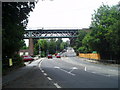
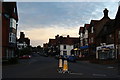
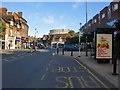
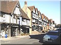
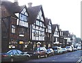
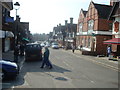
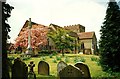
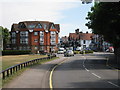
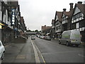
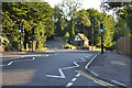
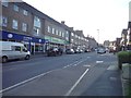
100 photos from this area
Area Information
Key information about the RH8 9HD including its size, population, and administrative classification.
- Area Type
- Postcode
- Area Size
- 3.9 hectares
- Population
- 1431
- Population Density
- 1161 people/km²
House Prices in RH8 9HD
16
Properties
£970,808
Average Sold Price
£465,000
Lowest Price
£1,745,000
Highest Price
Showing 16 properties
| Address | Type | Beds | Baths | Last Sale Price | Last Sale Date | |
|---|---|---|---|---|---|---|
| Beech Hill, Woodhurst Lane, Oxted, RH8 9HD | house | 4 | 2 | £1,125,000 | Apr 2022 | |
| Willow Rise, Woodhurst Lane, Oxted, RH8 9HD | house | 5 | 2 | £873,000 | Apr 2018 | |
| The Gables, Woodhurst Lane, Oxted, RH8 9HD | Detached | 7 | 5 | £1,745,000 | Dec 2017 | |
| Sunny Bank, Woodhurst Lane, Oxted, RH8 9HD | Detached | 6 | 2 | £1,335,000 | Aug 2017 | |
| Little Dawyck, Woodhurst Lane, Oxted, RH8 9HD | house | - | - | £1,500,000 | Aug 2011 | |
| Mallards, Woodhurst Lane, Oxted, RH8 9HD | Detached | - | - | £800,000 | Nov 2007 | |
| Ridgewood, Woodhurst Lane, Oxted, RH8 9HD | Semi-detached | - | - | £777,500 | Sep 2007 | |
| Edenside, Woodhurst Lane, Oxted, RH8 9HD | Detached | - | - | £1,095,000 | Aug 2007 | |
| Hurst Cottage, Woodhurst Lane, Oxted, RH8 9HD | house | - | - | £595,000 | Apr 2007 | |
| Brooklands, Woodhurst Lane, Oxted, RH8 9HD | Detached | 5 | 2 | £980,000 | Sep 2006 |
Page 1 of 2
Energy Efficiency in RH8 9HD
Amenities
Schools
| Rank | School | Type | Entry gender | Ages |
|---|
Explore more schools in this area
Go to Schools tabDemographics
Household Size
Family (3-5 people)
most common
Accommodation Type
Houses
most common
Tenure
89
majority
Ethnic Group
White
most common
Religion
N/A
most common
Household Composition
N/A
most common
Age
47
median
Adults (30-64 years)
most common
Household Deprivation
N/A
with no deprivation
NS-SEC
61
in Lower managerial occupations
Explore more demographic insights in this area
Go to Demographics tabPlanning
Planning Constraints
- Flood RiskPremium
- Ramsar Wetland SitesPremium
- Area of Outstanding Natural BeautyPremium
- Protected Nature ReservePremium
- Protected WoodlandPremium