Area Overview for RH8 9HN
Photos of RH8 9HN
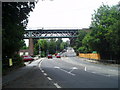
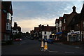
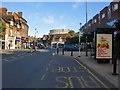
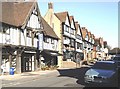
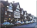
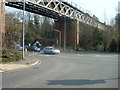
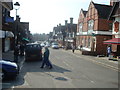
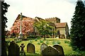
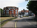
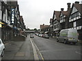
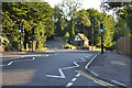
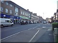
100 photos from this area
Area Information
Key information about the RH8 9HN including its size, population, and administrative classification.
- Area Type
- Postcode
- Area Size
- 2.6 hectares
- Population
- 1607
- Population Density
- 3032 people/km²
House Prices in RH8 9HN
23
Properties
£503,095
Average Sold Price
£154,500
Lowest Price
£875,000
Highest Price
Showing 23 properties
| Address | Type | Beds | Baths | Last Sale Price | Last Sale Date | |
|---|---|---|---|---|---|---|
| 3 Woodhurst Lane, Oxted, RH8 9HN | Detached | 4 | 1 | £865,000 | Sep 2025 | |
| 27 Woodhurst Lane, Oxted, RH8 9HN | house | - | - | £875,000 | Jun 2021 | |
| 25 Woodhurst Lane, Oxted, RH8 9HN | Detached | 4 | 1 | £840,000 | Jun 2019 | |
| 1 Woodhurst Lane, Oxted, RH8 9HN | Detached | 4 | 1 | £645,000 | Nov 2017 | |
| 7 Woodhurst Lane, Oxted, RH8 9HN | house | - | - | £740,000 | Aug 2017 | |
| 45 Woodhurst Lane, Oxted, RH8 9HN | Detached | 4 | 1 | £790,000 | Jul 2017 | |
| 21 Woodhurst Lane, Oxted, RH8 9HN | house | - | - | £688,000 | Mar 2016 | |
| 9 Woodhurst Lane, Oxted, RH8 9HN | Detached | 3 | - | £550,000 | Jul 2014 | |
| 29 Woodhurst Lane, Oxted, RH8 9HN | house | 4 | - | £665,000 | May 2010 | |
| 23 Woodhurst Lane, Oxted, RH8 9HN | house | - | - | £655,000 | Jan 2009 |
Page 1 of 3
Energy Efficiency in RH8 9HN
Amenities
Schools
| Rank | School | Type | Entry gender | Ages |
|---|
Explore more schools in this area
Go to Schools tabDemographics
Household Size
One person
most common
Accommodation Type
Houses
most common
Tenure
61
majority
Ethnic Group
White
most common
Religion
N/A
most common
Household Composition
N/A
most common
Age
47
median
Adults (30-64 years)
most common
Household Deprivation
N/A
with no deprivation
NS-SEC
45
in Lower managerial occupations
Explore more demographic insights in this area
Go to Demographics tabPlanning
Planning Constraints
- Flood RiskPremium
- Ramsar Wetland SitesPremium
- Area of Outstanding Natural BeautyPremium
- Protected Nature ReservePremium
- Protected WoodlandPremium