Area Overview for RH8 9HS
Photos of RH8 9HS
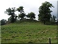

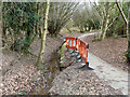
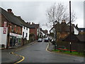
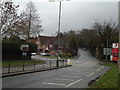
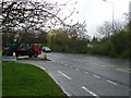
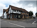
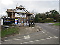
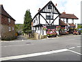
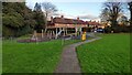
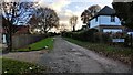

78 photos from this area
Area Information
Key information about the RH8 9HS including its size, population, and administrative classification.
- Area Type
- Postcode
- Area Size
- 6.9 hectares
- Population
- 1431
- Population Density
- 1161 people/km²
House Prices in RH8 9HS
24
Properties
£1,195,347
Average Sold Price
£607,100
Lowest Price
£1,825,000
Highest Price
Showing 24 properties
| Address | Type | Beds | Baths | Last Sale Price | Last Sale Date | |
|---|---|---|---|---|---|---|
| Auryn, Wilderness Road, Oxted, RH8 9HS | Detached | 5 | 4 | £1,665,000 | Feb 2025 | |
| Robinslade, Wilderness Road, Oxted, RH8 9HS | Detached | 5 | 3 | £1,130,000 | Jun 2022 | |
| Brentwood, Wilderness Road, Oxted, RH8 9HS | Detached | 6 | 4 | £1,825,000 | Jun 2021 | |
| Hammerwood, Wilderness Road, Oxted, RH8 9HS | Detached | 5 | 3 | £1,645,000 | Apr 2021 | |
| Hill House, Wilderness Road, Oxted, RH8 9HS | Detached | 4 | 3 | £1,088,000 | May 2020 | |
| Sorrel House, Wilderness Road, Oxted, RH8 9HS | Detached | 5 | 4 | £1,500,000 | Dec 2019 | |
| Little Hammer, Wilderness Road, Oxted, RH8 9HS | Detached | 4 | 2 | £1,295,000 | Dec 2019 | |
| The Pond House, Wilderness Road, Oxted, RH8 9HS | house | 4 | 5 | £1,200,000 | Nov 2019 | |
| White Wickets, Wilderness Road, Oxted, RH8 9HS | house | - | - | £1,020,000 | Mar 2017 | |
| Millbrook, Wilderness Road, Oxted, RH8 9HS | Detached | 5 | - | £1,300,000 | Mar 2016 |
Page 1 of 3
Energy Efficiency in RH8 9HS
Amenities
Schools
| Rank | School | Type | Entry gender | Ages |
|---|
Explore more schools in this area
Go to Schools tabDemographics
Household Size
Family (3-5 people)
most common
Accommodation Type
Houses
most common
Tenure
89
majority
Ethnic Group
White
most common
Religion
N/A
most common
Household Composition
N/A
most common
Age
47
median
Adults (30-64 years)
most common
Household Deprivation
N/A
with no deprivation
NS-SEC
61
in Lower managerial occupations
Explore more demographic insights in this area
Go to Demographics tabPlanning
Planning Constraints
- Flood RiskPremium
- Ramsar Wetland SitesPremium
- Area of Outstanding Natural BeautyPremium
- Protected Nature ReservePremium
- Protected WoodlandPremium