Area Overview for RH5 6RH
Photos of RH5 6RH
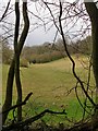
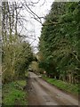
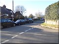
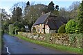
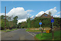
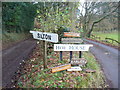
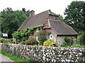
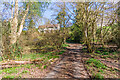
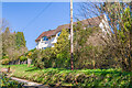
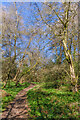
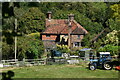
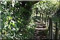
20 photos from this area
Area Information
Key information about the RH5 6RH including its size, population, and administrative classification.
- Area Type
- Postcode
- Area Size
- 2.1 hectares
- Population
- 1997
- Population Density
- 154 people/km²
House Prices in RH5 6RH
10
Properties
£720,625
Average Sold Price
£475,000
Lowest Price
£985,000
Highest Price
Showing 10 properties
| Address | Type | Beds | Baths | Last Sale Price | Last Sale Date | |
|---|---|---|---|---|---|---|
| Woodpeckers, Hoe Lane, Abinger Hammer, RH5 6RH | Bungalow | - | - | £725,000 | Jun 2021 | |
| Hazeldene, Hoe Lane, Abinger Hammer, RH5 6RH | Bungalow | - | - | £985,000 | Mar 2021 | |
| Holkham House, Hoe Lane, Abinger Hammer, RH5 6RH | house | - | - | £900,000 | Jan 2021 | |
| Little Hoe, Hoe Lane, Abinger Hammer, RH5 6RH | Bungalow | 4 | 2 | £720,000 | Aug 2018 | |
| Three Brooms, Hoe Lane, Abinger Hammer, RH5 6RH | house | 4 | 2 | £785,000 | Aug 2017 | |
| Teasel Cottage, Hoe Lane, Abinger Hammer, RH5 6RH | house | 5 | - | £605,000 | Sep 2011 | |
| The Croft, Hoe Lane, Abinger Hammer, RH5 6RH | house | - | - | £475,000 | Jun 2006 | |
| Sancroft, Hoe Lane, Abinger Hammer, RH5 6RH | Detached | - | - | £570,000 | Sep 2005 | |
| Fairlight, Hoe Lane, Abinger Hammer, RH5 6RH | Detached | - | - | - | - | |
| Long View, Hoe Lane, Abinger Hammer, RH5 6RH | Detached | - | - | - | - |
Energy Efficiency in RH5 6RH
Amenities
Schools
| Rank | School | Type | Entry gender | Ages |
|---|
Explore more schools in this area
Go to Schools tabDemographics
Household Size
Two person
most common
Accommodation Type
Houses
most common
Tenure
88
majority
Ethnic Group
White
most common
Religion
N/A
most common
Household Composition
N/A
most common
Age
47
median
Adults (30-64 years)
most common
Household Deprivation
N/A
with no deprivation
NS-SEC
53
in Lower managerial occupations
Explore more demographic insights in this area
Go to Demographics tabPlanning
Planning Constraints
- Flood RiskPremium
- Ramsar Wetland SitesPremium
- Area of Outstanding Natural BeautyPremium
- Protected Nature ReservePremium
- Protected WoodlandPremium