Area Overview for RH5 6RQ
Photos of RH5 6RQ
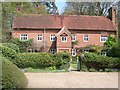
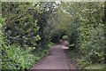
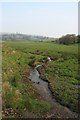
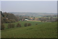
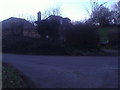
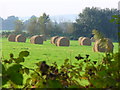
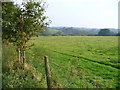
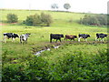
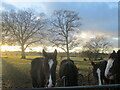
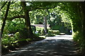
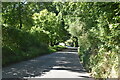
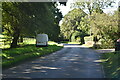
26 photos from this area
Area Information
Key information about the RH5 6RQ including its size, population, and administrative classification.
- Area Type
- Postcode
- Area Size
- 2.1 hectares
- Population
- 1997
- Population Density
- 154 people/km²
House Prices in RH5 6RQ
8
Properties
£416,667
Average Sold Price
£225,000
Lowest Price
£785,000
Highest Price
Showing 8 properties
| Address | Type | Beds | Baths | Last Sale Price | Last Sale Date | |
|---|---|---|---|---|---|---|
| Braemar, Annisdowne Close, Abinger Hammer, Dorking, RH5 6RQ | Semi-detached | 2 | 1 | £495,000 | Jan 2024 | |
| Redriff, Annisdowne Close, Abinger Hammer, Dorking, RH5 6RQ | Semi-detached | 3 | 2 | £785,000 | Sep 2022 | |
| Luccombe, Annisdowne Close, Abinger Hammer, Dorking, RH5 6RQ | Semi-detached | 3 | - | £415,000 | Sep 2013 | |
| Vale View, Annisdowne Close, Abinger Hammer, Dorking, RH5 6RQ | Semi-detached | 2 | 1 | £285,000 | Nov 2009 | |
| Downsview, Annisdowne Close, Abinger Hammer, Dorking, RH5 6RQ | Semi-detached | - | - | £295,000 | Jul 2003 | |
| Sundown, Annisdowne Close, Abinger Hammer, Dorking, RH5 6RQ | Semi-detached | - | - | £225,000 | Sep 2000 | |
| Hillmead Cottage, Annisdowne Close, Abinger Hammer, Dorking, RH5 6RQ | Detached | - | - | - | - | |
| High Point, Annisdowne Close, Abinger Hammer, Dorking, RH5 6RQ | Detached | - | - | - | - |
Energy Efficiency in RH5 6RQ
Amenities
Schools
| Rank | School | Type | Entry gender | Ages |
|---|
Explore more schools in this area
Go to Schools tabDemographics
Household Size
Two person
most common
Accommodation Type
Houses
most common
Tenure
88
majority
Ethnic Group
White
most common
Religion
N/A
most common
Household Composition
N/A
most common
Age
47
median
Adults (30-64 years)
most common
Household Deprivation
N/A
with no deprivation
NS-SEC
53
in Lower managerial occupations
Explore more demographic insights in this area
Go to Demographics tabPlanning
Planning Constraints
- Flood RiskPremium
- Ramsar Wetland SitesPremium
- Area of Outstanding Natural BeautyPremium
- Protected Nature ReservePremium
- Protected WoodlandPremium