Area Overview for RH5 5RL
Photos of RH5 5RL
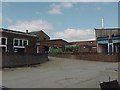
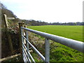
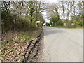
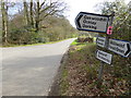
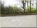
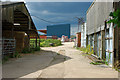
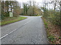
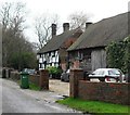
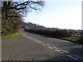
9 photos from this area
Area Information
Key information about the RH5 5RL including its size, population, and administrative classification.
- Area Type
- Postcode
- Area Size
- 62.7 hectares
- Population
- 1963
- Population Density
- 68 people/km²
House Prices in RH5 5RL
32
Properties
£641,833
Average Sold Price
£160,000
Lowest Price
£1,285,000
Highest Price
Showing 32 properties
| Address | Type | Beds | Baths | Last Sale Price | Last Sale Date | |
|---|---|---|---|---|---|---|
| Somersbury, Horsham Road, Wallis Wood, RH5 5RL | Detached | 5 | 2 | £1,250,000 | Sep 2025 | |
| Brambletye, Horsham Road, Wallis Wood, RH5 5RL | Detached | 3 | 2 | £826,000 | Mar 2025 | |
| Deersbrook, Horsham Road, Wallis Wood, RH5 5RL | Bungalow | 2 | 1 | £580,000 | Oct 2024 | |
| Penwood, Horsham Road, Wallis Wood, RH5 5RL | Detached | 5 | 4 | £1,285,000 | Aug 2023 | |
| Tresco, Horsham Road, Wallis Wood, RH5 5RL | Detached | 4 | 2 | £765,300 | Mar 2021 | |
| September Cottage, Horsham Road, Wallis Wood, RH5 5RL | Detached | 3 | 2 | £720,000 | Apr 2020 | |
| Gadbrook, Horsham Road, Wallis Wood, RH5 5RL | Detached | 3 | 2 | £498,684 | Aug 2018 | |
| Dragon Roost, Horsham Road, Wallis Wood, RH5 5RL | Bungalow | 2 | 1 | £550,000 | Apr 2016 | |
| Thyme And Plaice, Hollyoak Cottage, Horsham Road, Wallis Wood, RH5 5RL | Detached | 5 | - | £830,000 | Mar 2016 | |
| Seven Acres, Horsham Road, Wallis Wood, RH5 5RL | Bungalow | 3 | 1 | £765,000 | Sep 2015 |
Page 1 of 4
Energy Efficiency in RH5 5RL
Amenities
Schools
| Rank | School | Type | Entry gender | Ages |
|---|
Explore more schools in this area
Go to Schools tabDemographics
Household Size
Two person
most common
Accommodation Type
Houses
most common
Tenure
75
majority
Ethnic Group
White
most common
Religion
N/A
most common
Household Composition
N/A
most common
Age
47
median
Adults (30-64 years)
most common
Household Deprivation
N/A
with no deprivation
NS-SEC
44
in Lower managerial occupations
Explore more demographic insights in this area
Go to Demographics tabPlanning
Planning Constraints
- Flood RiskPremium
- Ramsar Wetland SitesPremium
- Area of Outstanding Natural BeautyPremium
- Protected Nature ReservePremium
- Protected WoodlandPremium