Area Overview for GU6 7SW
Photos of GU6 7SW
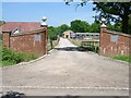
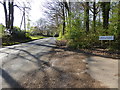
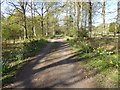
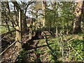
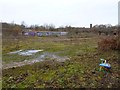
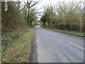
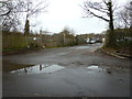
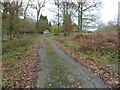
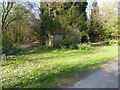
16 photos from this area
Area Information
Key information about the GU6 7SW including its size, population, and administrative classification.
- Area Type
- Postcode
- Area Size
- 1.6 km²
- Population
- 2361
- Population Density
- 144 people/km²
House Prices in GU6 7SW
33
Properties
£687,050
Average Sold Price
£155,500
Lowest Price
£2,200,000
Highest Price
Showing 33 properties
| Address | Type | Beds | Baths | Last Sale Price | Last Sale Date | |
|---|---|---|---|---|---|---|
| Friendly Cottage, Horsham Lane, Ewhurst, Cranleigh, GU6 7SW | Detached | 4 | 3 | £985,000 | Mar 2025 | |
| Silverdale, Horsham Lane, Ewhurst, Cranleigh, GU6 7SW | Bungalow | 2 | 1 | £715,000 | Aug 2024 | |
| Longfield, Horsham Lane, Ewhurst, Cranleigh, GU6 7SW | Detached | - | - | £1,235,000 | Jan 2022 | |
| Wildwood, Horsham Lane, Ewhurst, Cranleigh, GU6 7SW | Detached | 3 | 1 | £2,200,000 | Sep 2020 | |
| Tall Trees, Horsham Lane, Ewhurst, Cranleigh, GU6 7SW | Detached | 4 | 2 | £664,000 | Mar 2020 | |
| Goldings, Horsham Lane, Ewhurst, Cranleigh, GU6 7SW | Bungalow | 2 | 1 | £555,000 | Jan 2020 | |
| The Birches, Horsham Lane, Ewhurst, Cranleigh, GU6 7SW | house | - | - | £875,000 | Mar 2018 | |
| Hunters Lodge, Horsham Lane, Ewhurst, Cranleigh, GU6 7SW | Bungalow | - | - | £975,000 | Jun 2014 | |
| Robinhurst, Horsham Lane, Ewhurst, Cranleigh, GU6 7SW | Bungalow | - | - | £510,000 | Apr 2011 | |
| La Quinta, Horsham Lane, Ewhurst, Cranleigh, GU6 7SW | Detached | - | - | £635,000 | Apr 2010 |
Page 1 of 4
Energy Efficiency in GU6 7SW
Amenities
Schools
| Rank | School | Type | Entry gender | Ages |
|---|
Explore more schools in this area
Go to Schools tabDemographics
Household Size
Two person
most common
Accommodation Type
Houses
most common
Tenure
80
majority
Ethnic Group
White
most common
Religion
N/A
most common
Household Composition
N/A
most common
Age
47
median
Adults (30-64 years)
most common
Household Deprivation
N/A
with no deprivation
NS-SEC
41
in Lower managerial occupations
Explore more demographic insights in this area
Go to Demographics tabPlanning
Planning Constraints
- Flood RiskPremium
- Ramsar Wetland SitesPremium
- Area of Outstanding Natural BeautyPremium
- Protected Nature ReservePremium
- Protected WoodlandPremium