Area Overview for RH5 5RJ
Photos of RH5 5RJ
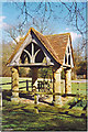
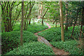
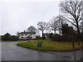
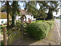
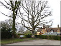

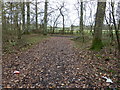
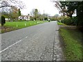
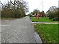
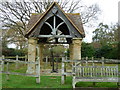
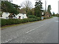
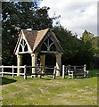
20 photos from this area
Area Information
Key information about the RH5 5RJ including its size, population, and administrative classification.
- Area Type
- Postcode
- Area Size
- 59.5 hectares
- Population
- 1963
- Population Density
- 68 people/km²
House Prices in RH5 5RJ
18
Properties
£851,000
Average Sold Price
£40,000
Lowest Price
£1,688,000
Highest Price
Showing 18 properties
| Address | Type | Beds | Baths | Last Sale Price | Last Sale Date | |
|---|---|---|---|---|---|---|
| Braeside, Froggetts Lane, Wallis Wood, RH5 5RJ | Detached | 5 | 4 | £1,688,000 | Apr 2024 | |
| Spandrels, Froggetts Lane, Wallis Wood, RH5 5RJ | house | - | - | £1,175,000 | Aug 2022 | |
| Froggetts Farm, Froggetts Lane, Wallis Wood, RH5 5RJ | Detached | 5 | - | £1,115,000 | Jan 2018 | |
| The Pheasantry, Froggetts Lane, Wallis Wood, RH5 5RJ | Detached | 3 | 2 | £999,999 | Mar 2017 | |
| Oak Tree Cottage, Froggetts Lane, Wallis Wood, RH5 5RJ | Bungalow | - | - | £415,000 | Nov 2009 | |
| Tiger Lily, Froggetts Lane, Wallis Wood, RH5 5RJ | Detached | - | - | £600,000 | Oct 2004 | |
| Walliswood Farm, Froggetts Lane, Wallis Wood, RH5 5RJ | Retail | 5 | 3 | £775,000 | Jul 2000 | |
| Alvaston, Froggetts Lane, Wallis Wood, RH5 5RJ | Detached | - | - | £40,000 | Aug 1997 | |
| Farthings, Froggetts Lane, Wallis Wood, RH5 5RJ | Detached | 4 | 2 | - | - | |
| Northlands, Froggetts Lane, Wallis Wood, RH5 5RJ | Detached | 4 | 2 | - | - |
Page 1 of 2
Energy Efficiency in RH5 5RJ
Amenities
Schools
| Rank | School | Type | Entry gender | Ages |
|---|
Explore more schools in this area
Go to Schools tabDemographics
Household Size
Two person
most common
Accommodation Type
Houses
most common
Tenure
75
majority
Ethnic Group
White
most common
Religion
N/A
most common
Household Composition
N/A
most common
Age
47
median
Adults (30-64 years)
most common
Household Deprivation
N/A
with no deprivation
NS-SEC
44
in Lower managerial occupations
Explore more demographic insights in this area
Go to Demographics tabPlanning
Planning Constraints
- Flood RiskPremium
- Ramsar Wetland SitesPremium
- Area of Outstanding Natural BeautyPremium
- Protected Nature ReservePremium
- Protected WoodlandPremium