Area Overview for RH14 9TG
Photos of RH14 9TG
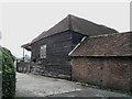
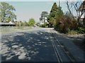
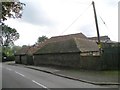
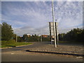
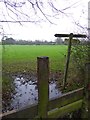
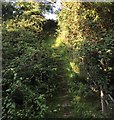
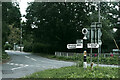
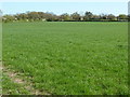
29 photos from this area
Area Information
Key information about the RH14 9TG including its size, population, and administrative classification.
- Area Type
- Postcode
- Area Size
- 1.0 hectares
- Population
- 1405
- Population Density
- 2011 people/km²
House Prices in RH14 9TG
21
Properties
£265,206
Average Sold Price
£104,000
Lowest Price
£395,000
Highest Price
Showing 21 properties
| Address | Type | Beds | Baths | Last Sale Price | Last Sale Date | |
|---|---|---|---|---|---|---|
| 11 Daux Way, Billingshurst, RH14 9TG | house | 2 | 1 | £395,000 | May 2025 | |
| 12 Daux Way, Billingshurst, RH14 9TG | Semi-detached | 2 | 1 | £387,500 | Mar 2025 | |
| Woodlands, Daux Way, Billingshurst, RH14 9TG | house | - | - | £311,500 | Feb 2021 | |
| 4 Daux Way, Billingshurst, RH14 9TG | Semi-detached | 2 | - | £305,000 | Feb 2021 | |
| 9 Daux Way, Billingshurst, RH14 9TG | house | - | - | £345,000 | May 2019 | |
| 3A Daux Way, Billingshurst, RH14 9TG | Flat | 1 | 1 | £165,000 | Nov 2017 | |
| 14 Daux Way, Billingshurst, RH14 9TG | Semi-detached | 2 | - | £365,000 | Nov 2017 | |
| 6 Daux Way, Billingshurst, RH14 9TG | house | - | - | £340,000 | Nov 2016 | |
| 5 Daux Way, Billingshurst, RH14 9TG | Semi-detached | 2 | - | £250,000 | Aug 2016 | |
| 17 Daux Way, Billingshurst, RH14 9TG | Bungalow | 2 | - | £290,000 | Oct 2013 |
Page 1 of 3
Energy Efficiency in RH14 9TG
Amenities
Schools
| Rank | School | Type | Entry gender | Ages |
|---|
Explore more schools in this area
Go to Schools tabDemographics
Household Size
Two person
most common
Accommodation Type
Houses
most common
Tenure
77
majority
Ethnic Group
White
most common
Religion
N/A
most common
Household Composition
N/A
most common
Age
47
median
Adults (30-64 years)
most common
Household Deprivation
N/A
with no deprivation
NS-SEC
44
in Lower managerial occupations
Explore more demographic insights in this area
Go to Demographics tabPlanning
Planning Constraints
- Flood RiskPremium
- Ramsar Wetland SitesPremium
- Area of Outstanding Natural BeautyPremium
- Protected Nature ReservePremium
- Protected WoodlandPremium