Area Overview for RH14 9SY
Photos of RH14 9SY
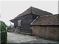
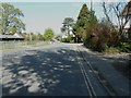
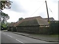
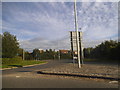
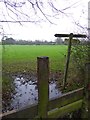
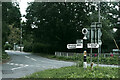
29 photos from this area
Area Information
Key information about the RH14 9SY including its size, population, and administrative classification.
- Area Type
- Postcode
- Area Size
- 1.1 hectares
- Population
- 1405
- Population Density
- 2011 people/km²
House Prices in RH14 9SY
23
Properties
£251,575
Average Sold Price
£65,000
Lowest Price
£389,000
Highest Price
Showing 23 properties
| Address | Type | Beds | Baths | Last Sale Price | Last Sale Date | |
|---|---|---|---|---|---|---|
| 17 Chestnut Road, Billingshurst, RH14 9SY | house | - | - | £325,000 | Oct 2019 | |
| 14 Chestnut Road, Billingshurst, RH14 9SY | Detached | 4 | - | £389,000 | Sep 2016 | |
| 23 Chestnut Road, Billingshurst, RH14 9SY | Detached | 5 | - | £373,000 | Mar 2014 | |
| 18 Chestnut Road, Billingshurst, RH14 9SY | house | - | - | £295,000 | Nov 2012 | |
| 7 Chestnut Road, Billingshurst, RH14 9SY | house | - | - | £223,000 | Nov 2012 | |
| 11 Chestnut Road, Billingshurst, RH14 9SY | Detached | 3 | - | £275,000 | Jun 2012 | |
| 15 Chestnut Road, Billingshurst, RH14 9SY | Detached | - | - | £322,500 | Aug 2010 | |
| 5 Chestnut Road, Billingshurst, RH14 9SY | house | - | - | £225,000 | Feb 2010 | |
| 2 Chestnut Road, Billingshurst, RH14 9SY | house | - | - | £235,000 | Sep 2009 | |
| 12 Chestnut Road, Billingshurst, RH14 9SY | house | - | - | £247,000 | Jul 2009 |
Page 1 of 3
Energy Efficiency in RH14 9SY
Amenities
Schools
| Rank | School | Type | Entry gender | Ages |
|---|
Explore more schools in this area
Go to Schools tabDemographics
Household Size
Two person
most common
Accommodation Type
Houses
most common
Tenure
77
majority
Ethnic Group
White
most common
Religion
N/A
most common
Household Composition
N/A
most common
Age
47
median
Adults (30-64 years)
most common
Household Deprivation
N/A
with no deprivation
NS-SEC
44
in Lower managerial occupations
Explore more demographic insights in this area
Go to Demographics tabPlanning
Planning Constraints
- Flood RiskPremium
- Ramsar Wetland SitesPremium
- Area of Outstanding Natural BeautyPremium
- Protected Nature ReservePremium
- Protected WoodlandPremium