Area Overview for RH12 3PY
Photos of RH12 3PY
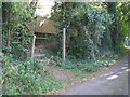
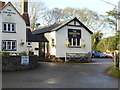
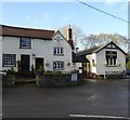
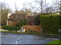
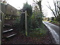
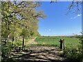
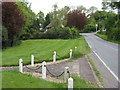
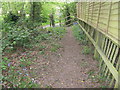
41 photos from this area
Area Information
Key information about the RH12 3PY including its size, population, and administrative classification.
- Area Type
- Postcode
- Area Size
- 19.1 hectares
- Population
- 1564
- Population Density
- 162 people/km²
House Prices in RH12 3PY
11
Properties
£471,813
Average Sold Price
£190,000
Lowest Price
£774,500
Highest Price
Showing 11 properties
| Address | Type | Beds | Baths | Last Sale Price | Last Sale Date | |
|---|---|---|---|---|---|---|
| Marlstone Cottage, Rowhook Road, Rowhook, RH12 3PY | Detached | 3 | - | £774,500 | Feb 2021 | |
| 2, Stane Street Cottages, Rowhook Road, Rowhook, RH12 3PY | Semi-detached | 3 | 2 | £550,000 | Jul 2020 | |
| Chequered Oak Bungalow, Rowhook Road, Rowhook, RH12 3PY | Detached | 5 | 5 | £740,000 | Dec 2018 | |
| 3, Stane Street Cottages, Rowhook Road, Rowhook, RH12 3PY | Semi-detached | 3 | - | £462,500 | Mar 2015 | |
| Talbot Cottage, Rowhook Road, Rowhook, RH12 3PY | Detached | - | - | £385,000 | May 2008 | |
| 4, Stane Street Cottages, Rowhook Road, Rowhook, RH12 3PY | Semi-detached | - | - | £387,500 | Feb 2005 | |
| 1, Stane Street Cottages, Rowhook Road, Rowhook, RH12 3PY | house | - | - | £190,000 | Jan 2005 | |
| Fern Cottage, Rowhook Road, Rowhook, RH12 3PY | house | - | - | £285,000 | Dec 1999 | |
| Rowhook Farm, Rowhook Road, Rowhook, RH12 3PY | Detached | 7 | 4 | - | - | |
| The Annexe, Rowhook Farm, Rowhook Road, Rowhook, RH12 3PY | Detached | - | - | - | - |
Page 1 of 2
Energy Efficiency in RH12 3PY
Amenities
Schools
| Rank | School | Type | Entry gender | Ages |
|---|
Explore more schools in this area
Go to Schools tabDemographics
Household Size
Two person
most common
Accommodation Type
Houses
most common
Tenure
84
majority
Ethnic Group
White
most common
Religion
N/A
most common
Household Composition
N/A
most common
Age
47
median
Adults (30-64 years)
most common
Household Deprivation
N/A
with no deprivation
NS-SEC
45
in Lower managerial occupations
Explore more demographic insights in this area
Go to Demographics tabPlanning
Planning Constraints
- Flood RiskPremium
- Ramsar Wetland SitesPremium
- Area of Outstanding Natural BeautyPremium
- Protected Nature ReservePremium
- Protected WoodlandPremium