Area Overview for RH12 3PW
Photos of RH12 3PW
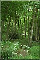
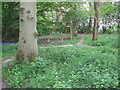
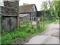
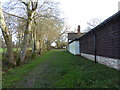
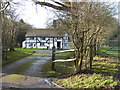
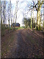
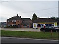
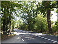
43 photos from this area
Area Information
Key information about the RH12 3PW including its size, population, and administrative classification.
- Area Type
- Postcode
- Area Size
- 67.0 hectares
- Population
- 1929
- Population Density
- 114 people/km²
House Prices in RH12 3PW
58
Properties
£609,643
Average Sold Price
£292,500
Lowest Price
£1,000,000
Highest Price
Showing 58 properties
| Address | Type | Beds | Baths | Last Sale Price | Last Sale Date | |
|---|---|---|---|---|---|---|
| Timbers Farm, Guildford Road, Clemsfold, RH12 3PW | Bungalow | 4 | 2 | £1,000,000 | Oct 2022 | |
| 4, Woodlea Cottages, Guildford Road, Clemsfold, RH12 3PW | Terraced | 3 | 1 | £390,000 | Feb 2022 | |
| Deercopse, Guildford Road, Clemsfold, RH12 3PW | Detached | 4 | 2 | £795,000 | Aug 2019 | |
| Nutwood Cottage, Guildford Road, Clemsfold, RH12 3PW | Detached | 3 | - | £770,000 | May 2019 | |
| 3, Woodlea Cottages, Guildford Road, Clemsfold, RH12 3PW | Terraced | 2 | 1 | £292,500 | Nov 2017 | |
| The Thatched House, Guildford Road, Clemsfold, RH12 3PW | Detached | 5 | 4 | £535,000 | Jan 2005 | |
| Woodland Cottage, Guildford Road, Clemsfold, RH12 3PW | Detached | - | - | £485,000 | Apr 2004 | |
| Clemsfold Lodge, Guildford Road, Clemsfold, RH12 3PW | Detached | 3 | 1 | - | - | |
| 2, Clemsfold Farm Cottages, Guildford Road, Clemsfold, RH12 3PW | Detached | 2 | 1 | - | - | |
| Room 4, Beech Lodge, Guildford Road, Clemsfold, RH12 3PW | Semi-detached | 3 | 2 | - | - |
Page 1 of 6
Energy Efficiency in RH12 3PW
Amenities
Schools
| Rank | School | Type | Entry gender | Ages |
|---|
Explore more schools in this area
Go to Schools tabDemographics
Household Size
Two person
most common
Accommodation Type
Houses
most common
Tenure
73
majority
Ethnic Group
White
most common
Religion
N/A
most common
Household Composition
N/A
most common
Age
47
median
Adults (30-64 years)
most common
Household Deprivation
N/A
with no deprivation
NS-SEC
41
in Lower managerial occupations
Explore more demographic insights in this area
Go to Demographics tabPlanning
Planning Constraints
- Flood RiskPremium
- Ramsar Wetland SitesPremium
- Area of Outstanding Natural BeautyPremium
- Protected Nature ReservePremium
- Protected WoodlandPremium