Area Overview for RH12 3PJ
Photos of RH12 3PJ
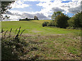
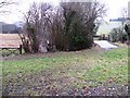
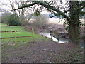
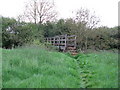
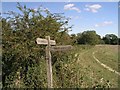
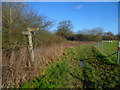
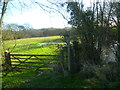
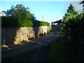
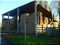
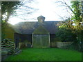
44 photos from this area
Area Information
Key information about the RH12 3PJ including its size, population, and administrative classification.
- Area Type
- Postcode
- Area Size
- 81.6 hectares
- Population
- 1929
- Population Density
- 114 people/km²
House Prices in RH12 3PJ
19
Properties
£1,175,000
Average Sold Price
£775,000
Lowest Price
£1,840,000
Highest Price
Showing 19 properties
| Address | Type | Beds | Baths | Last Sale Price | Last Sale Date | |
|---|---|---|---|---|---|---|
| Smithawe Farm, Nowhurst Lane, Broadbridge Heath, RH12 3PJ | Detached | 5 | 3 | £910,000 | Apr 2023 | |
| The Cowshed, Nowhurst Lane, Broadbridge Heath, RH12 3PJ | Land | 3 | 2 | £775,000 | Sep 2022 | |
| Camelia House, Nowhurst Lane, Broadbridge Heath, RH12 3PJ | Detached | 5 | 5 | £1,840,000 | Nov 2009 | |
| Nowhurst, Nowhurst Lane, Broadbridge Heath, RH12 3PJ | Detached | 6 | 6 | - | - | |
| Quarries, Nowhurst Lane, Broadbridge Heath, RH12 3PJ | Bungalow | 3 | 2 | - | - | |
| Mobile Home, Camelia House, Nowhurst Lane, Broadbridge Heath, RH12 3PJ | Mobile Home | - | - | - | - | |
| Warrens View, Nowhurst Lane, Broadbridge Heath, RH12 3PJ | Flat | - | - | - | - | |
| Tennis 50M From Nowhurst Farm House, Nowhurst Lane 22M From Unnamed Road, Nowhurst Lane, Broadbridge Heath, RH12 3PJ | Leisure | - | - | - | - | |
| Gamble Rail A Kelbray Division, Nowhurst Business Park, Guildford Road, Broadbridge Heath, RH12 3PJ | Industrial | - | - | - | - | |
| Maltby Land Surveys, Nowhurst Business Park, Guildford Road, Broadbridge Heath, RH12 3PJ | Office | - | - | - | - |
Page 1 of 2
Energy Efficiency in RH12 3PJ
Amenities
Schools
| Rank | School | Type | Entry gender | Ages |
|---|
Explore more schools in this area
Go to Schools tabDemographics
Household Size
Two person
most common
Accommodation Type
Houses
most common
Tenure
73
majority
Ethnic Group
White
most common
Religion
N/A
most common
Household Composition
N/A
most common
Age
47
median
Adults (30-64 years)
most common
Household Deprivation
N/A
with no deprivation
NS-SEC
41
in Lower managerial occupations
Explore more demographic insights in this area
Go to Demographics tabPlanning
Planning Constraints
- Flood RiskPremium
- Ramsar Wetland SitesPremium
- Area of Outstanding Natural BeautyPremium
- Protected Nature ReservePremium
- Protected WoodlandPremium