Area Overview for RG17 0DE
Photos of RG17 0DE
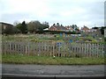
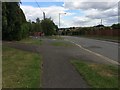
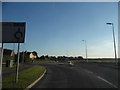
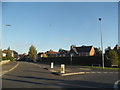
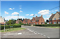
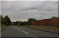
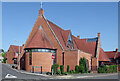
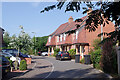
22 photos from this area
Area Information
Key information about the RG17 0DE including its size, population, and administrative classification.
- Area Type
- Postcode
- Area Size
- 9828 m²
- Population
- 1637
- Population Density
- 493 people/km²
House Prices in RG17 0DE
33
Properties
£244,533
Average Sold Price
£68,000
Lowest Price
£390,000
Highest Price
Showing 33 properties
| Address | Type | Beds | Baths | Last Sale Price | Last Sale Date | |
|---|---|---|---|---|---|---|
| 27 Lancaster Close, Hungerford, RG17 0DE | Semi-detached | 3 | 1 | £350,000 | Sep 2024 | |
| 20 Lancaster Close, Hungerford, RG17 0DE | Semi-detached | 3 | 1 | £300,000 | Jan 2024 | |
| 30 Lancaster Close, Hungerford, RG17 0DE | house | - | - | £390,000 | Apr 2023 | |
| 14 Lancaster Close, Hungerford, RG17 0DE | house | 3 | - | £274,000 | Mar 2021 | |
| 7 Lancaster Close, Hungerford, RG17 0DE | Terraced | 3 | 1 | £265,000 | Aug 2019 | |
| 21 Lancaster Close, Hungerford, RG17 0DE | Semi-detached | 3 | 1 | £260,000 | Oct 2017 | |
| 4 Lancaster Close, Hungerford, RG17 0DE | Semi-detached | 3 | 1 | £240,000 | Mar 2015 | |
| 6 Lancaster Close, Hungerford, RG17 0DE | house | - | - | £200,000 | Sep 2014 | |
| 28 Lancaster Close, Hungerford, RG17 0DE | Detached | 3 | 1 | £222,000 | Aug 2014 | |
| 8 Lancaster Close, Hungerford, RG17 0DE | Detached | 3 | 1 | £210,000 | Nov 2013 |
Page 1 of 4
Energy Efficiency in RG17 0DE
Amenities
Schools
| Rank | School | Type | Entry gender | Ages |
|---|
Explore more schools in this area
Go to Schools tabDemographics
Household Size
One person
most common
Accommodation Type
Houses
most common
Tenure
55
majority
Ethnic Group
White
most common
Religion
N/A
most common
Household Composition
N/A
most common
Age
47
median
Adults (30-64 years)
most common
Household Deprivation
N/A
with no deprivation
NS-SEC
29
in Lower managerial occupations
Explore more demographic insights in this area
Go to Demographics tabPlanning
Planning Constraints
- Flood RiskPremium
- Ramsar Wetland SitesPremium
- Area of Outstanding Natural BeautyPremium
- Protected Nature ReservePremium
- Protected WoodlandPremium