Area Overview for RG17 0AU
Photos of RG17 0AU
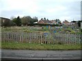
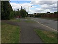
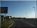
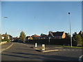
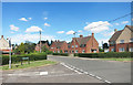
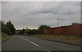
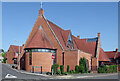
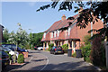
22 photos from this area
Area Information
Key information about the RG17 0AU including its size, population, and administrative classification.
- Area Type
- Postcode
- Area Size
- 8242 m²
- Population
- 1637
- Population Density
- 493 people/km²
House Prices in RG17 0AU
17
Properties
£266,545
Average Sold Price
£181,000
Lowest Price
£340,000
Highest Price
Showing 17 properties
| Address | Type | Beds | Baths | Last Sale Price | Last Sale Date | |
|---|---|---|---|---|---|---|
| 9 Bulpit Lane, Hungerford, RG17 0AU | Semi-detached | 2 | 1 | £290,000 | Jun 2025 | |
| 2 Bulpit Lane, Hungerford, RG17 0AU | Semi-detached | 3 | 1 | £260,000 | May 2025 | |
| 8 Bulpit Lane, Hungerford, RG17 0AU | house | - | - | £340,000 | Jan 2025 | |
| 15 Bulpit Lane, Hungerford, RG17 0AU | Bungalow | 2 | 1 | £286,000 | Mar 2024 | |
| 1 Bulpit Lane, Hungerford, RG17 0AU | Semi-detached | 2 | 1 | £255,000 | Nov 2023 | |
| 11 Bulpit Lane, Hungerford, RG17 0AU | Bungalow | - | - | £305,000 | Jul 2022 | |
| 7 Bulpit Lane, Hungerford, RG17 0AU | Semi-detached | 2 | 2 | £270,000 | Feb 2020 | |
| 6 Bulpit Lane, Hungerford, RG17 0AU | Semi-detached | 3 | - | £265,000 | Jan 2014 | |
| 13 Bulpit Lane, Hungerford, RG17 0AU | Detached | 2 | 1 | £230,000 | Oct 2011 | |
| 12 Bulpit Lane, Hungerford, RG17 0AU | Semi-detached | - | - | £250,000 | May 2008 |
Page 1 of 2
Energy Efficiency in RG17 0AU
Amenities
Schools
| Rank | School | Type | Entry gender | Ages |
|---|
Explore more schools in this area
Go to Schools tabDemographics
Household Size
One person
most common
Accommodation Type
Houses
most common
Tenure
55
majority
Ethnic Group
White
most common
Religion
N/A
most common
Household Composition
N/A
most common
Age
47
median
Adults (30-64 years)
most common
Household Deprivation
N/A
with no deprivation
NS-SEC
29
in Lower managerial occupations
Explore more demographic insights in this area
Go to Demographics tabPlanning
Planning Constraints
- Flood RiskPremium
- Ramsar Wetland SitesPremium
- Area of Outstanding Natural BeautyPremium
- Protected Nature ReservePremium
- Protected WoodlandPremium