Area Overview for RG1 2NZ
Photos of RG1 2NZ
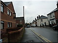
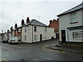
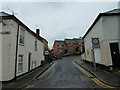
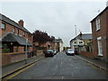
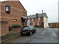
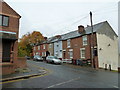
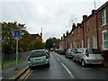
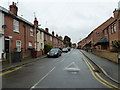
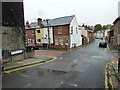
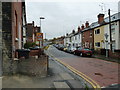
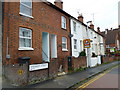
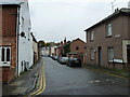
100 photos from this area
Area Information
Key information about the RG1 2NZ including its size, population, and administrative classification.
- Area Type
- Postcode
- Area Size
- 4269 m²
- Population
- 1779
- Population Density
- 13580 people/km²
House Prices in RG1 2NZ
33
Properties
£168,232
Average Sold Price
£55,000
Lowest Price
£300,000
Highest Price
Showing 33 properties
| Address | Type | Beds | Baths | Last Sale Price | Last Sale Date | |
|---|---|---|---|---|---|---|
| 44 Pell Street, Reading, RG1 2NZ | Terraced | 2 | 1 | £265,000 | Oct 2025 | |
| 58 Pell Street, Reading, RG1 2NZ | Terraced | 2 | 1 | £300,000 | Feb 2025 | |
| 6 Pell Street, Reading, RG1 2NZ | Terraced | 2 | 1 | £259,000 | May 2022 | |
| 14 Pell Street, Reading, RG1 2NZ | Terraced | 2 | 1 | £240,000 | Apr 2022 | |
| 4 Pell Street, Reading, RG1 2NZ | Terraced | 1 | 1 | £252,000 | Jan 2019 | |
| 24 Pell Street, Reading, RG1 2NZ | Terraced | 2 | 1 | £207,000 | Oct 2018 | |
| 40 Pell Street, Reading, RG1 2NZ | Terraced | 2 | 1 | £243,500 | Aug 2015 | |
| 28 Pell Street, Reading, RG1 2NZ | Terraced | 2 | 1 | £203,000 | Jan 2015 | |
| 22 Pell Street, Reading, RG1 2NZ | Terraced | 2 | 1 | £161,000 | May 2013 | |
| 26 Pell Street, Reading, RG1 2NZ | Terraced | 2 | 1 | £151,250 | Aug 2012 |
Page 1 of 4
Energy Efficiency in RG1 2NZ
Amenities
Schools
| Rank | School | Type | Entry gender | Ages |
|---|
Explore more schools in this area
Go to Schools tabDemographics
Household Size
Two person
most common
Accommodation Type
Houses
most common
Tenure
43
majority
Ethnic Group
White
most common
Religion
N/A
most common
Household Composition
N/A
most common
Age
47
median
Adults (30-64 years)
most common
Household Deprivation
N/A
with no deprivation
NS-SEC
40
in Lower managerial occupations
Explore more demographic insights in this area
Go to Demographics tabPlanning
Planning Constraints
- Flood RiskPremium
- Ramsar Wetland SitesPremium
- Area of Outstanding Natural BeautyPremium
- Protected Nature ReservePremium
- Protected WoodlandPremium