Area Overview for PO9 5DS
Photos of PO9 5DS
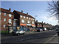
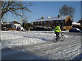
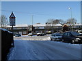
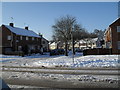
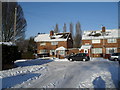
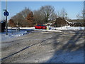
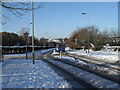
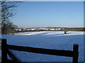
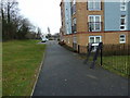
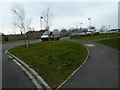
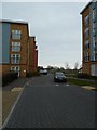
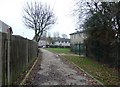
100 photos from this area
Area Information
Key information about the PO9 5DS including its size, population, and administrative classification.
- Area Type
- Postcode
- Area Size
- 1.0 hectares
- Population
- 1440
- Population Density
- 966 people/km²
House Prices in PO9 5DS
36
Properties
£158,167
Average Sold Price
£48,500
Lowest Price
£270,000
Highest Price
Showing 36 properties
| Address | Type | Beds | Baths | Last Sale Price | Last Sale Date | |
|---|---|---|---|---|---|---|
| 354 Middle Park Way, Havant, PO9 5DS | Terraced | 3 | 1 | £270,000 | Jun 2025 | |
| 324 Middle Park Way, Havant, PO9 5DS | Terraced | 3 | 1 | £210,000 | Mar 2025 | |
| 314 Middle Park Way, Havant, PO9 5DS | house | 2 | 1 | £236,000 | Jan 2025 | |
| 370 Middle Park Way, Havant, PO9 5DS | Terraced | 3 | 1 | £245,000 | Dec 2022 | |
| 358 Middle Park Way, Havant, PO9 5DS | house | 3 | 1 | £255,000 | Jun 2022 | |
| 328 Middle Park Way, Havant, PO9 5DS | house | 2 | 1 | £223,000 | Jun 2021 | |
| 374 Middle Park Way, Havant, PO9 5DS | Terraced | 3 | 1 | £147,500 | Aug 2014 | |
| 364 Middle Park Way, Havant, PO9 5DS | Semi-detached | 2 | 1 | £139,000 | Mar 2014 | |
| 338 Middle Park Way, Havant, PO9 5DS | Terraced | 3 | - | £120,000 | Mar 2012 | |
| 372 Middle Park Way, Havant, PO9 5DS | Terraced | 3 | 1 | £83,500 | Sep 2009 |
Page 1 of 4
Energy Efficiency in PO9 5DS
Amenities
Schools
| Rank | School | Type | Entry gender | Ages |
|---|
Explore more schools in this area
Go to Schools tabDemographics
Household Size
Family (3-5 people)
most common
Accommodation Type
Houses
most common
Tenure
50
majority
Ethnic Group
White
most common
Religion
N/A
most common
Household Composition
N/A
most common
Age
47
median
Adults (30-64 years)
most common
Household Deprivation
N/A
with no deprivation
NS-SEC
21
in Lower managerial occupations
Explore more demographic insights in this area
Go to Demographics tabPlanning
Planning Constraints
- Flood RiskPremium
- Ramsar Wetland SitesPremium
- Area of Outstanding Natural BeautyPremium
- Protected Nature ReservePremium
- Protected WoodlandPremium