Area Overview for PO9 5BZ
Photos of PO9 5BZ
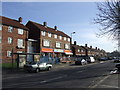
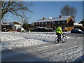
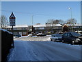
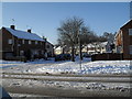
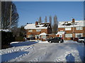
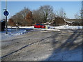
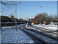
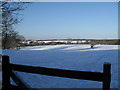
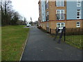
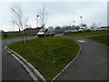
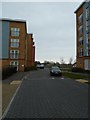
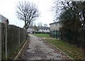
100 photos from this area
Area Information
Key information about the PO9 5BZ including its size, population, and administrative classification.
- Area Type
- Postcode
- Area Size
- 1.5 hectares
- Population
- 1819
- Population Density
- 6162 people/km²
House Prices in PO9 5BZ
38
Properties
£197,521
Average Sold Price
£50,000
Lowest Price
£350,000
Highest Price
Showing 38 properties
| Address | Type | Beds | Baths | Last Sale Price | Last Sale Date | |
|---|---|---|---|---|---|---|
| 21 Great Copse Drive, Havant, PO9 5BZ | house | 4 | 2 | £245,000 | Apr 2025 | |
| 9 Great Copse Drive, Havant, PO9 5BZ | Semi-detached | 3 | 1 | £300,000 | Mar 2025 | |
| 43 Great Copse Drive, Havant, PO9 5BZ | Semi-detached | 5 | 3 | £350,000 | Jul 2024 | |
| 45 Great Copse Drive, Havant, PO9 5BZ | house | - | - | £255,000 | May 2024 | |
| 55 Great Copse Drive, Havant, PO9 5BZ | house | - | - | £271,000 | Sep 2022 | |
| 63 Great Copse Drive, Havant, PO9 5BZ | Retail | 3 | 1 | £285,000 | May 2022 | |
| 53 Great Copse Drive, Havant, PO9 5BZ | house | - | - | £230,000 | May 2021 | |
| 15 Great Copse Drive, Havant, PO9 5BZ | Semi-detached | 3 | 2 | £220,000 | Apr 2017 | |
| 23 Great Copse Drive, Havant, PO9 5BZ | Semi-detached | 3 | 1 | £225,000 | Feb 2017 | |
| 17 Great Copse Drive, Havant, PO9 5BZ | house | 4 | - | £242,500 | Feb 2017 |
Page 1 of 4
Energy Efficiency in PO9 5BZ
Amenities
Schools
| Rank | School | Type | Entry gender | Ages |
|---|
Explore more schools in this area
Go to Schools tabDemographics
Household Size
Family (3-5 people)
most common
Accommodation Type
Houses
most common
Tenure
36
majority
Ethnic Group
White
most common
Religion
N/A
most common
Household Composition
N/A
most common
Age
47
median
Adults (30-64 years)
most common
Household Deprivation
N/A
with no deprivation
NS-SEC
17
in Lower managerial occupations
Explore more demographic insights in this area
Go to Demographics tabPlanning
Planning Constraints
- Flood RiskPremium
- Ramsar Wetland SitesPremium
- Area of Outstanding Natural BeautyPremium
- Protected Nature ReservePremium
- Protected WoodlandPremium