Area Overview for PO9 2LA
Photos of PO9 2LA
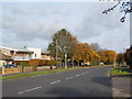
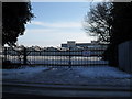
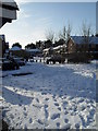
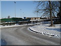
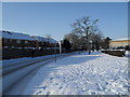
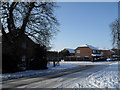
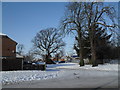
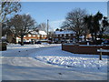
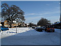
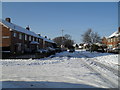
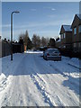
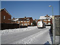
100 photos from this area
Area Information
Key information about the PO9 2LA including its size, population, and administrative classification.
- Area Type
- Postcode
- Area Size
- 1.4 hectares
- Population
- 1600
- Population Density
- 2664 people/km²
House Prices in PO9 2LA
38
Properties
£166,228
Average Sold Price
£49,200
Lowest Price
£295,000
Highest Price
Showing 38 properties
| Address | Type | Beds | Baths | Last Sale Price | Last Sale Date | |
|---|---|---|---|---|---|---|
| 138 St Albans Road, Havant, PO9 2LA | house | - | - | £250,000 | Nov 2023 | |
| 118 St Albans Road, Havant, PO9 2LA | Terraced | 4 | 1 | £295,000 | Aug 2023 | |
| 164 St Albans Road, Havant, PO9 2LA | Terraced | 2 | 2 | £252,000 | May 2023 | |
| 162 St Albans Road, Havant, PO9 2LA | house | - | - | £265,000 | Aug 2022 | |
| 160 St Albans Road, Havant, PO9 2LA | Retail | 3 | 1 | £245,000 | Mar 2022 | |
| 120 St Albans Road, Havant, PO9 2LA | house | 3 | - | £213,000 | Sep 2021 | |
| 122 St Albans Road, Havant, PO9 2LA | Terraced | 2 | 1 | £199,995 | Aug 2021 | |
| 140A St Albans Road, Havant, PO9 2LA | house | - | - | £210,000 | Oct 2019 | |
| 106 St Albans Road, Havant, PO9 2LA | Semi-detached | 3 | 1 | £190,000 | May 2019 | |
| 104 St Albans Road, Havant, PO9 2LA | Semi-detached | 3 | 1 | £205,000 | Feb 2019 |
Page 1 of 4
Energy Efficiency in PO9 2LA
Amenities
Schools
| Rank | School | Type | Entry gender | Ages |
|---|
Explore more schools in this area
Go to Schools tabDemographics
Household Size
Family (3-5 people)
most common
Accommodation Type
Houses
most common
Tenure
60
majority
Ethnic Group
White
most common
Religion
N/A
most common
Household Composition
N/A
most common
Age
47
median
Adults (30-64 years)
most common
Household Deprivation
N/A
with no deprivation
NS-SEC
20
in Lower managerial occupations
Explore more demographic insights in this area
Go to Demographics tabPlanning
Planning Constraints
- Flood RiskPremium
- Ramsar Wetland SitesPremium
- Area of Outstanding Natural BeautyPremium
- Protected Nature ReservePremium
- Protected WoodlandPremium