Area Overview for PO9 2JS
Photos of PO9 2JS
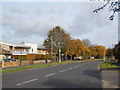

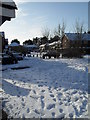
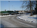
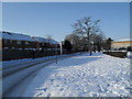
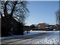
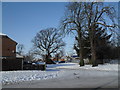
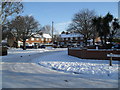
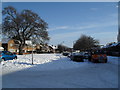
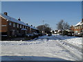
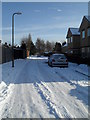
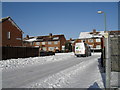
100 photos from this area
Area Information
Key information about the PO9 2JS including its size, population, and administrative classification.
- Area Type
- Postcode
- Area Size
- 7318 m²
- Population
- 1600
- Population Density
- 2664 people/km²
House Prices in PO9 2JS
24
Properties
£202,200
Average Sold Price
£42,500
Lowest Price
£260,000
Highest Price
Showing 24 properties
| Address | Type | Beds | Baths | Last Sale Price | Last Sale Date | |
|---|---|---|---|---|---|---|
| 73 St Albans Road, Havant, PO9 2JS | Terraced | 3 | 1 | £249,995 | Jun 2025 | |
| 85 St Albans Road, Havant, PO9 2JS | house | 2 | 1 | £238,000 | Mar 2025 | |
| 115 St Albans Road, Havant, PO9 2JS | Terraced | 3 | 2 | £260,000 | Dec 2024 | |
| 79 St Albans Road, Havant, PO9 2JS | house | - | - | £230,000 | Jul 2022 | |
| 105 St Albans Road, Havant, PO9 2JS | house | - | - | £235,500 | Feb 2022 | |
| 107 St Albans Road, Havant, PO9 2JS | house | - | - | £242,500 | Jan 2022 | |
| 101 St Albans Road, Havant, PO9 2JS | Terraced | 2 | 1 | £215,000 | Dec 2020 | |
| 87 St Albans Road, Havant, PO9 2JS | house | 3 | - | £160,000 | May 2017 | |
| 111 St Albans Road, Havant, PO9 2JS | house | - | - | £148,500 | Apr 2013 | |
| 83 St Albans Road, Havant, PO9 2JS | house | - | - | £42,500 | Mar 1997 |
Page 1 of 3
Energy Efficiency in PO9 2JS
Amenities
Schools
| Rank | School | Type | Entry gender | Ages |
|---|
Explore more schools in this area
Go to Schools tabDemographics
Household Size
Family (3-5 people)
most common
Accommodation Type
Houses
most common
Tenure
60
majority
Ethnic Group
White
most common
Religion
N/A
most common
Household Composition
N/A
most common
Age
47
median
Adults (30-64 years)
most common
Household Deprivation
N/A
with no deprivation
NS-SEC
20
in Lower managerial occupations
Explore more demographic insights in this area
Go to Demographics tabPlanning
Planning Constraints
- Flood RiskPremium
- Ramsar Wetland SitesPremium
- Area of Outstanding Natural BeautyPremium
- Protected Nature ReservePremium
- Protected WoodlandPremium