Area Overview for PO9 2JZ
Photos of PO9 2JZ
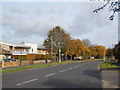

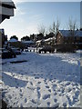
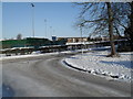
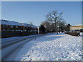
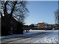

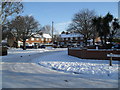
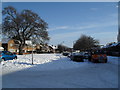
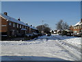
100 photos from this area
Area Information
Key information about the PO9 2JZ including its size, population, and administrative classification.
- Area Type
- Postcode
- Area Size
- 3668 m²
- Population
- 1600
- Population Density
- 2664 people/km²
House Prices in PO9 2JZ
14
Properties
£184,429
Average Sold Price
£48,000
Lowest Price
£252,000
Highest Price
Showing 14 properties
| Address | Type | Beds | Baths | Last Sale Price | Last Sale Date | |
|---|---|---|---|---|---|---|
| 76 St Albans Road, Havant, PO9 2JZ | Terraced | 3 | 1 | £210,000 | Sep 2025 | |
| 82 St Albans Road, Havant, PO9 2JZ | house | 2 | 1 | £252,000 | May 2024 | |
| 78 St Albans Road, Havant, PO9 2JZ | house | - | - | £240,000 | Sep 2023 | |
| 86 St Albans Road, Havant, PO9 2JZ | house | - | - | £236,000 | Jan 2022 | |
| 98 St Albans Road, Havant, PO9 2JZ | house | - | - | £175,000 | Oct 2015 | |
| 80 St Albans Road, Havant, PO9 2JZ | house | 2 | - | £130,000 | Dec 2010 | |
| 72 St Albans Road, Havant, PO9 2JZ | Semi-detached | - | - | £48,000 | Dec 1998 | |
| 74 St Albans Road, Havant, PO9 2JZ | Terraced | 3 | 1 | - | - | |
| 84 St Albans Road, Havant, PO9 2JZ | house | - | - | - | - | |
| 88 St Albans Road, Havant, PO9 2JZ | Terraced | - | - | - | - |
Page 1 of 2
Energy Efficiency in PO9 2JZ
Amenities
Schools
| Rank | School | Type | Entry gender | Ages |
|---|
Explore more schools in this area
Go to Schools tabDemographics
Household Size
Family (3-5 people)
most common
Accommodation Type
Houses
most common
Tenure
60
majority
Ethnic Group
White
most common
Religion
N/A
most common
Household Composition
N/A
most common
Age
47
median
Adults (30-64 years)
most common
Household Deprivation
N/A
with no deprivation
NS-SEC
20
in Lower managerial occupations
Explore more demographic insights in this area
Go to Demographics tabPlanning
Planning Constraints
- Flood RiskPremium
- Ramsar Wetland SitesPremium
- Area of Outstanding Natural BeautyPremium
- Protected Nature ReservePremium
- Protected WoodlandPremium