Area Overview for PO4 8YH
Photos of PO4 8YH
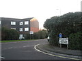
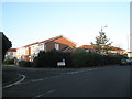
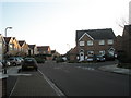
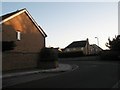
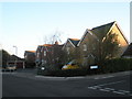
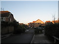
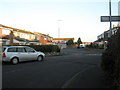
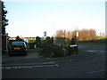
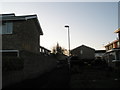
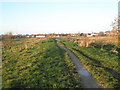
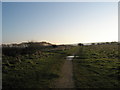
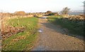
87 photos from this area
Area Information
Key information about the PO4 8YH including its size, population, and administrative classification.
- Area Type
- Postcode
- Area Size
- 1.8 hectares
- Population
- 2373
- Population Density
- 6819 people/km²
House Prices in PO4 8YH
17
Properties
£278,563
Average Sold Price
£75,000
Lowest Price
£420,000
Highest Price
Showing 17 properties
| Address | Type | Beds | Baths | Last Sale Price | Last Sale Date | |
|---|---|---|---|---|---|---|
| 78 Moorings Way, Southsea, PO4 8YH | house | - | - | £420,000 | Oct 2024 | |
| 90 Moorings Way, Southsea, PO4 8YH | Semi-detached | 4 | 2 | £350,000 | Jun 2020 | |
| 94 Moorings Way, Southsea, PO4 8YH | Semi-detached | 4 | 2 | £340,000 | Sep 2018 | |
| 74 Moorings Way, Southsea, PO4 8YH | house | - | - | £300,000 | Nov 2015 | |
| 98 Moorings Way, Southsea, PO4 8YH | house | - | - | £265,000 | Dec 2014 | |
| 88 Moorings Way, Southsea, PO4 8YH | Semi-detached | 4 | - | £240,000 | Jun 2014 | |
| 70 Moorings Way, Southsea, PO4 8YH | Semi-detached | - | - | £238,500 | May 2005 | |
| 86 Moorings Way, Southsea, PO4 8YH | Semi-detached | - | - | £75,000 | Mar 2002 | |
| 92 Moorings Way, Southsea, PO4 8YH | house | - | - | - | - | |
| 96 Moorings Way, Southsea, PO4 8YH | house | - | - | - | - |
Page 1 of 2
Energy Efficiency in PO4 8YH
Amenities
Schools
| Rank | School | Type | Entry gender | Ages |
|---|
Explore more schools in this area
Go to Schools tabDemographics
Household Size
Family (3-5 people)
most common
Accommodation Type
Houses
most common
Tenure
60
majority
Ethnic Group
White
most common
Religion
N/A
most common
Household Composition
N/A
most common
Age
47
median
Adults (30-64 years)
most common
Household Deprivation
N/A
with no deprivation
NS-SEC
28
in Lower managerial occupations
Explore more demographic insights in this area
Go to Demographics tabPlanning
Planning Constraints
- Flood RiskPremium
- Ramsar Wetland SitesPremium
- Area of Outstanding Natural BeautyPremium
- Protected Nature ReservePremium
- Protected WoodlandPremium