Area Overview for PO4 8PP
Photos of PO4 8PP
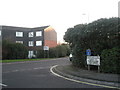
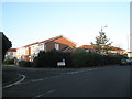
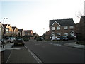
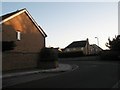
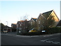
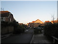
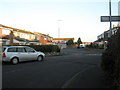
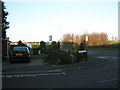
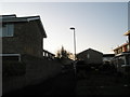
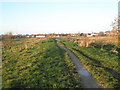
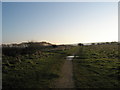
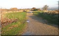
87 photos from this area
Area Information
Key information about the PO4 8PP including its size, population, and administrative classification.
- Area Type
- Postcode
- Area Size
- 9149 m²
- Population
- 2373
- Population Density
- 6819 people/km²
House Prices in PO4 8PP
28
Properties
£243,923
Average Sold Price
£75,000
Lowest Price
£396,000
Highest Price
Showing 28 properties
| Address | Type | Beds | Baths | Last Sale Price | Last Sale Date | |
|---|---|---|---|---|---|---|
| 131 Warren Avenue, Southsea, PO4 8PP | Semi-detached | 4 | 1 | £396,000 | Feb 2023 | |
| 143 Warren Avenue, Southsea, PO4 8PP | house | - | - | £335,000 | Apr 2019 | |
| 139 Warren Avenue, Southsea, PO4 8PP | Semi-detached | 4 | - | £285,000 | Jun 2016 | |
| 137 Warren Avenue, Southsea, PO4 8PP | Semi-detached | 4 | - | £280,000 | Sep 2014 | |
| 129 Warren Avenue, Southsea, PO4 8PP | house | - | - | £240,000 | Mar 2013 | |
| 141 Warren Avenue, Southsea, PO4 8PP | house | - | - | £213,000 | Jan 2012 | |
| 117 Warren Avenue, Southsea, PO4 8PP | Semi-detached | - | - | £170,000 | Mar 2009 | |
| 145 Warren Avenue, Southsea, PO4 8PP | Semi-detached | - | - | £238,000 | Aug 2007 | |
| 111 Warren Avenue, Southsea, PO4 8PP | Semi-detached | - | - | £242,000 | Mar 2007 | |
| 119 Warren Avenue, Southsea, PO4 8PP | house | - | - | £230,000 | Jul 2006 |
Page 1 of 3
Energy Efficiency in PO4 8PP
Amenities
Schools
| Rank | School | Type | Entry gender | Ages |
|---|
Explore more schools in this area
Go to Schools tabDemographics
Household Size
Family (3-5 people)
most common
Accommodation Type
Houses
most common
Tenure
60
majority
Ethnic Group
White
most common
Religion
N/A
most common
Household Composition
N/A
most common
Age
47
median
Adults (30-64 years)
most common
Household Deprivation
N/A
with no deprivation
NS-SEC
28
in Lower managerial occupations
Explore more demographic insights in this area
Go to Demographics tabPlanning
Planning Constraints
- Flood RiskPremium
- Ramsar Wetland SitesPremium
- Area of Outstanding Natural BeautyPremium
- Protected Nature ReservePremium
- Protected WoodlandPremium