Area Overview for PO16 7HW
Photos of PO16 7HW
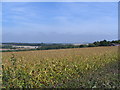
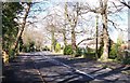
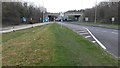
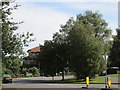

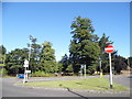
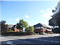
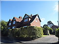
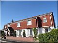
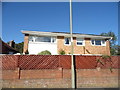


64 photos from this area
Area Information
Key information about the PO16 7HW including its size, population, and administrative classification.
- Area Type
- Postcode
- Area Size
- 2.8 hectares
- Population
- 1292
- Population Density
- 2314 people/km²
House Prices in PO16 7HW
36
Properties
£332,700
Average Sold Price
£157,000
Lowest Price
£695,000
Highest Price
Showing 36 properties
| Address | Type | Beds | Baths | Last Sale Price | Last Sale Date | |
|---|---|---|---|---|---|---|
| 20 West Downs Close, Fareham, PO16 7HW | Detached | 3 | 1 | £480,000 | Mar 2025 | |
| 1 West Downs Close, Fareham, PO16 7HW | Detached | 4 | 1 | £440,000 | Jun 2024 | |
| 4 West Downs Close, Fareham, PO16 7HW | house | 3 | 2 | £695,000 | Apr 2024 | |
| 27 West Downs Close, Fareham, PO16 7HW | house | - | - | £650,000 | Jun 2022 | |
| 17 West Downs Close, Fareham, PO16 7HW | house | 4 | - | £395,000 | Dec 2020 | |
| 7 West Downs Close, Fareham, PO16 7HW | Detached | 5 | 3 | £480,000 | May 2020 | |
| 31 West Downs Close, Fareham, PO16 7HW | house | - | - | £325,000 | Dec 2019 | |
| 36 West Downs Close, Fareham, PO16 7HW | house | - | - | £329,950 | Oct 2019 | |
| 28 West Downs Close, Fareham, PO16 7HW | Detached | 4 | 1 | £390,000 | Jun 2019 | |
| 23 West Downs Close, Fareham, PO16 7HW | Detached | 4 | 2 | £415,000 | Sep 2014 |
Page 1 of 4
Energy Efficiency in PO16 7HW
Amenities
Schools
| Rank | School | Type | Entry gender | Ages |
|---|
Explore more schools in this area
Go to Schools tabDemographics
Household Size
Two person
most common
Accommodation Type
Houses
most common
Tenure
95
majority
Ethnic Group
White
most common
Religion
N/A
most common
Household Composition
N/A
most common
Age
47
median
Adults (30-64 years)
most common
Household Deprivation
N/A
with no deprivation
NS-SEC
48
in Lower managerial occupations
Explore more demographic insights in this area
Go to Demographics tabPlanning
Planning Constraints
- Flood RiskPremium
- Ramsar Wetland SitesPremium
- Area of Outstanding Natural BeautyPremium
- Protected Nature ReservePremium
- Protected WoodlandPremium