Area Overview for OX29 4DH
Photos of OX29 4DH
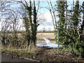
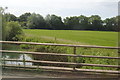

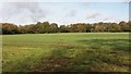
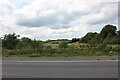

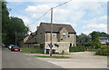

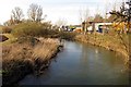
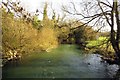
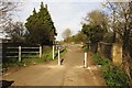
21 photos from this area
Area Information
Key information about the OX29 4DH including its size, population, and administrative classification.
- Area Type
- Postcode
- Area Size
- 44.1 hectares
- Population
- 2007
- Population Density
- 170 people/km²
House Prices in OX29 4DH
30
Properties
£290,363
Average Sold Price
£166,500
Lowest Price
£490,000
Highest Price
Showing 30 properties
| Address | Type | Beds | Baths | Last Sale Price | Last Sale Date | |
|---|---|---|---|---|---|---|
| 26 Eynsham Road, Cassington, OX29 4DH | house | - | - | £370,000 | Dec 2021 | |
| 22 Eynsham Road, Cassington, OX29 4DH | Semi-detached | 3 | 2 | £315,408 | Oct 2020 | |
| 70 Eynsham Road, Cassington, OX29 4DH | house | - | - | £272,000 | Aug 2018 | |
| 52 Eynsham Road, Cassington, OX29 4DH | Bungalow | 5 | - | £490,000 | Jan 2018 | |
| 24 Eynsham Road, Cassington, OX29 4DH | Semi-detached | 2 | 1 | £365,000 | Aug 2016 | |
| 40 Eynsham Road, Cassington, OX29 4DH | Semi-detached | 3 | - | £298,000 | May 2013 | |
| 42 Eynsham Road, Cassington, OX29 4DH | Detached | - | - | £342,500 | Jun 2007 | |
| 28 Eynsham Road, Cassington, OX29 4DH | Semi-detached | - | - | £225,000 | Apr 2007 | |
| 32 Eynsham Road, Cassington, OX29 4DH | Semi-detached | - | - | £279,950 | Sep 2004 | |
| 46 Eynsham Road, Cassington, OX29 4DH | Detached | 6 | 4 | £190,000 | Oct 2003 |
Page 1 of 3
Energy Efficiency in OX29 4DH
Amenities
Schools
| Rank | School | Type | Entry gender | Ages |
|---|
Explore more schools in this area
Go to Schools tabDemographics
Household Size
Two person
most common
Accommodation Type
Houses
most common
Tenure
73
majority
Ethnic Group
White
most common
Religion
N/A
most common
Household Composition
N/A
most common
Age
47
median
Adults (30-64 years)
most common
Household Deprivation
N/A
with no deprivation
NS-SEC
49
in Lower managerial occupations
Explore more demographic insights in this area
Go to Demographics tabPlanning
Planning Constraints
- Flood RiskPremium
- Ramsar Wetland SitesPremium
- Area of Outstanding Natural BeautyPremium
- Protected Nature ReservePremium
- Protected WoodlandPremium