Area Overview for MK18 2FJ
Photos of MK18 2FJ
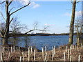
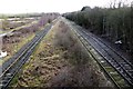
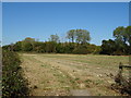
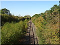
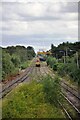
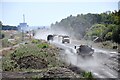
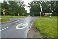
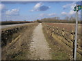
26 photos from this area
Area Information
Key information about the MK18 2FJ including its size, population, and administrative classification.
- Area Type
- Postcode
- Area Size
- 1.3 hectares
- Population
- 2469
- Population Density
- 80 people/km²
House Prices in MK18 2FJ
22
Properties
£373,723
Average Sold Price
£164,950
Lowest Price
£640,000
Highest Price
Showing 22 properties
| Address | Type | Beds | Baths | Last Sale Price | Last Sale Date | |
|---|---|---|---|---|---|---|
| 65 Cotswolds Way, Calvert Green, MK18 2FJ | Semi-detached | 3 | 2 | £390,000 | Jul 2023 | |
| 61 Cotswolds Way, Calvert Green, MK18 2FJ | Detached | 5 | 4 | £640,000 | Feb 2023 | |
| 77 Cotswolds Way, Calvert Green, MK18 2FJ | house | - | - | £500,000 | Aug 2022 | |
| 37 Cotswolds Way, Calvert Green, MK18 2FJ | Detached | 5 | 3 | £605,000 | Aug 2022 | |
| 59 Cotswolds Way, Calvert Green, MK18 2FJ | Retail | 4 | - | £545,000 | Mar 2022 | |
| 47 Cotswolds Way, Calvert Green, MK18 2FJ | Detached | 5 | 3 | £520,000 | Sep 2021 | |
| 69 Cotswolds Way, Calvert Green, MK18 2FJ | Detached | 4 | - | £410,000 | May 2021 | |
| 55 Cotswolds Way, Calvert Green, MK18 2FJ | Detached | 5 | 3 | £510,000 | Apr 2021 | |
| 39 Cotswolds Way, Calvert Green, MK18 2FJ | house | 3 | - | £342,000 | Jan 2018 | |
| 71 Cotswolds Way, Calvert Green, MK18 2FJ | Detached | 4 | - | £347,000 | Feb 2016 |
Page 1 of 3
Energy Efficiency in MK18 2FJ
Amenities
Schools
| Rank | School | Type | Entry gender | Ages |
|---|
Explore more schools in this area
Go to Schools tabDemographics
Household Size
Family (3-5 people)
most common
Accommodation Type
Houses
most common
Tenure
78
majority
Ethnic Group
White
most common
Religion
N/A
most common
Household Composition
N/A
most common
Age
47
median
Adults (30-64 years)
most common
Household Deprivation
N/A
with no deprivation
NS-SEC
43
in Lower managerial occupations
Explore more demographic insights in this area
Go to Demographics tabPlanning
Planning Constraints
- Flood RiskPremium
- Ramsar Wetland SitesPremium
- Area of Outstanding Natural BeautyPremium
- Protected Nature ReservePremium
- Protected WoodlandPremium