Area Overview for MK18 2FL
Photos of MK18 2FL
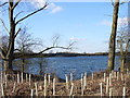
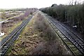
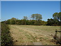
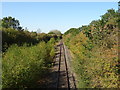
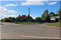
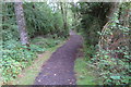
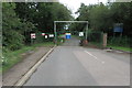
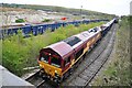
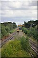
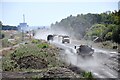
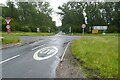
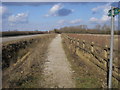
26 photos from this area
Area Information
Key information about the MK18 2FL including its size, population, and administrative classification.
- Area Type
- Postcode
- Area Size
- 8466 m²
- Population
- 2469
- Population Density
- 80 people/km²
House Prices in MK18 2FL
12
Properties
£435,413
Average Sold Price
£318,000
Lowest Price
£625,000
Highest Price
Showing 12 properties
| Address | Type | Beds | Baths | Last Sale Price | Last Sale Date | |
|---|---|---|---|---|---|---|
| 83 Cotswolds Way, Calvert Green, MK18 2FL | Detached | 4 | 3 | £625,000 | Mar 2024 | |
| 89 Cotswolds Way, Calvert Green, MK18 2FL | Detached | 4 | 2 | £567,200 | Aug 2022 | |
| 87 Cotswolds Way, Calvert Green, MK18 2FL | house | 4 | - | £520,000 | Dec 2021 | |
| 85 Cotswolds Way, Calvert Green, MK18 2FL | Detached | 4 | 2 | £500,000 | Aug 2021 | |
| 97 Cotswolds Way, Calvert Green, MK18 2FL | Detached | 4 | 2 | £414,750 | Jun 2020 | |
| 81 Cotswolds Way, Calvert Green, MK18 2FL | Detached | 4 | 3 | £435,000 | Jun 2019 | |
| 101 Cotswolds Way, Calvert Green, MK18 2FL | Detached | 4 | 2 | £423,000 | Sep 2016 | |
| 93 Cotswolds Way, Calvert Green, MK18 2FL | Detached | 4 | 3 | £385,000 | Oct 2015 | |
| 95 Cotswolds Way, Calvert Green, MK18 2FL | Detached | 4 | 3 | £380,000 | Aug 2014 | |
| 99 Cotswolds Way, Calvert Green, MK18 2FL | Detached | 4 | 3 | £327,000 | Dec 2004 |
Page 1 of 2
Energy Efficiency in MK18 2FL
Amenities
Schools
| Rank | School | Type | Entry gender | Ages |
|---|
Explore more schools in this area
Go to Schools tabDemographics
Household Size
Family (3-5 people)
most common
Accommodation Type
Houses
most common
Tenure
78
majority
Ethnic Group
White
most common
Religion
N/A
most common
Household Composition
N/A
most common
Age
47
median
Adults (30-64 years)
most common
Household Deprivation
N/A
with no deprivation
NS-SEC
43
in Lower managerial occupations
Explore more demographic insights in this area
Go to Demographics tabPlanning
Planning Constraints
- Flood RiskPremium
- Ramsar Wetland SitesPremium
- Area of Outstanding Natural BeautyPremium
- Protected Nature ReservePremium
- Protected WoodlandPremium